Canada’s west coast hides some of the most jaw-dropping island destinations—places you might not even know exist. These seven secret paradises serve up pristine beaches, ancient forests, and crystal-clear waters that honestly rival anything you’d find in the tropics—no passport drama required.
Most travelers stick to the usual suspects, but I’ve found that the real magic happens on these hidden gems scattered along BC’s wild coastline.
Some of these spots feel almost mystical, steeped in Indigenous culture or so remote you can literally walk in ancient footprints. The Gulf Islands overflow with lush scenery and creative communities, while Haida Gwaii offers up thousands of years of rich heritage and natural beauty that’ll leave you speechless.
Let’s dive into each of these remarkable places. I’ll share what makes them unforgettable and how you can tap into their untouched magic. Turns out, some of Canada’s best-kept secrets are hiding right along our own Pacific shores.
Why Explore Secret Paradises on Canada’s West Coast?
There are over 40,000 islands scattered across British Columbia’s waters. I know, it’s wild. These hidden spots offer untouched wilderness and peaceful escapes that honestly could stand up to any tropical getaway.
The Allure of Secluded Islands
Something about a secluded island just hits differently. The quiet here isn’t like city silence—it’s deeper, almost meditative. You’re wrapped up in water and wild space.
Wildlife just kind of happens around you. I’ve watched eagles circle overhead, seals splashing in the surf, and if you’re lucky, you’ll spot a bear wandering at dawn.
Here’s what you can do when you ditch the crowds:
- Walk beaches where your footprints are the only ones
- Camp under a sky jam-packed with stars
- Swim in coves so clear you’ll double-check your eyes
- Wander tide pools without bumping elbows
You can’t help but slow down. There’s no traffic, no endless pings from your phone. Just the sound of waves and the wind whispering through old-growth trees.

West Coast Geography and Island Diversity
British Columbia’s coastline stretches out for over 27,000 kilometers. It’s wild, and it means thousands of islands, all with their own vibe and landscape.
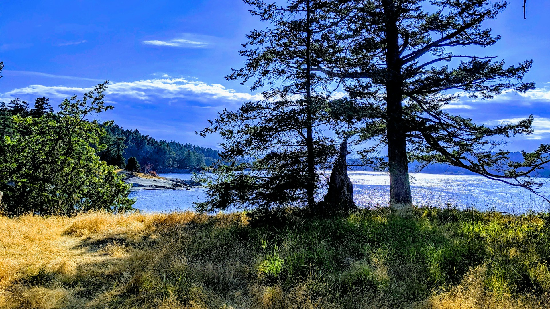
The Gulf Islands sit tucked between Vancouver Island and the mainland. Think warm, dry summers and a creative spirit that’s hard to miss.
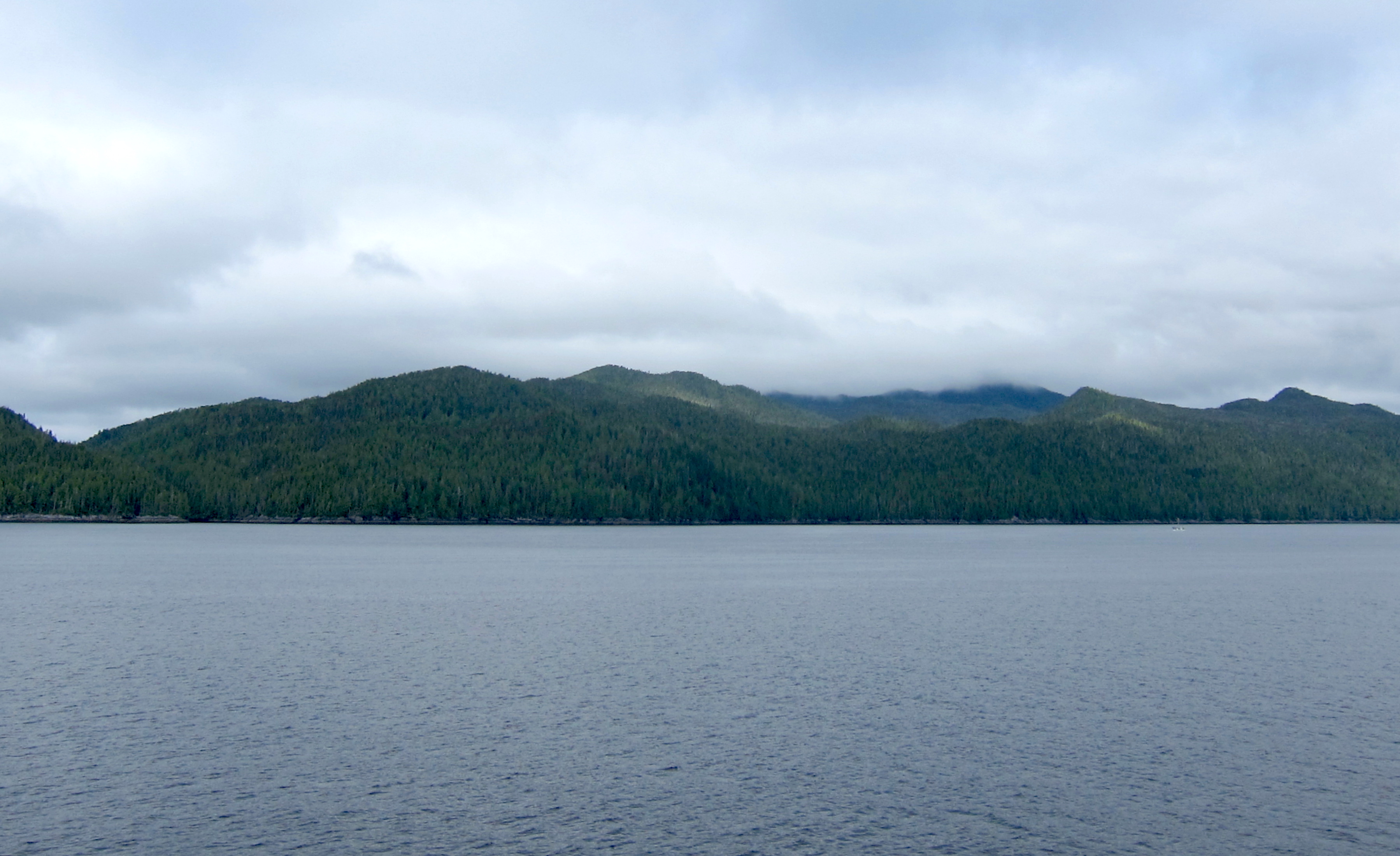
Head north to the Discovery Islands—they huddle around Vancouver Island’s tip, thick with dense forests and dramatic fjords.
Then there’s Haida Gwaii. Over 150 islands, ancient cedar forests, and a cultural heartbeat that runs deep.
| Island Region | Number of Islands | Key Features |
|---|---|---|
| Gulf Islands | 200+ | Art galleries, wineries |
| Discovery Islands | 20+ | Wilderness, kayaking |
| Haida Gwaii | 150+ | Indigenous culture, old-growth forest |
What Defines a Hidden Island Gem
You don’t always have to hike for days or charter a plane to find a secret island. Some of the best islands in Canada are honestly just a quick ferry from Vancouver or Victoria.
What makes a true hidden gem? Here’s my take: It stays off the tourist radar, keeps its natural character, and offers experiences you won’t find anywhere else.
Smaller islands really dial up that secret paradise vibe. You can sometimes walk the whole shoreline in a day.
Getting there by a tiny ferry or private boat keeps the crowds at bay. That’s how these places keep their wild charm—and give you room to breathe.
The most special Canadian islands mix natural beauty with rich local culture. People here usually welcome visitors but still hold onto what makes their community unique.
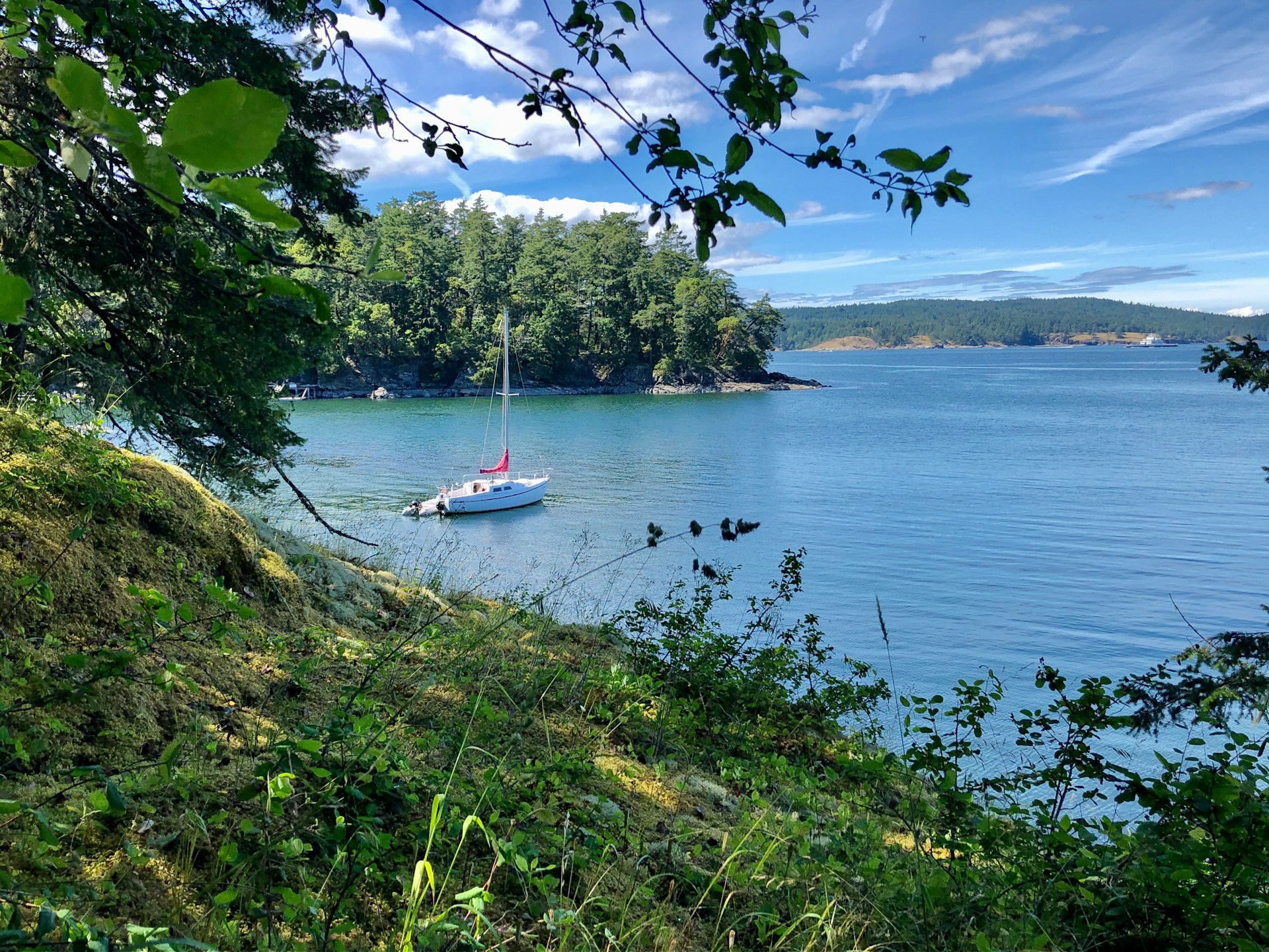
The Gulf Islands: British Columbia’s Lush Archipelago
Salt Spring Island draws you in with its buzzing artist scene and organic farms. Galiano Island? It’s got over 50 ocean access points and hiking trails that’ll challenge your legs (and your willpower). Pender Island’s twin landmasses are linked by a tiny bridge—perfect for kayaking and finding your own private cove.
Salt Spring Island: Artistic Hideaway and Farm-to-Table Culture
Salt Spring Island stands out as the most developed of the Gulf Islands, but don’t let that fool you—it’s still packed with character. Ganges, the main town, becomes the cultural heartbeat where you can wander galleries and studios filled with everything from pottery to wild, colorful paintings.
I’ve always been impressed by the island’s organic farming scene. Farms here produce everything from lamb to lavender, so you get a real farm-to-table vibe at local restaurants.
Top Things to Do on Salt Spring Island:
- Hit up the Saturday Farmers Market in Ganges
- Hike up Mount Erskine for killer views
- Tour artist studios on winding country roads
- Camp at Ruckle Provincial Park
The island’s size makes cycling between farms and beaches a breeze. I’ve found plenty of spots selling cheese, wine, and fresh produce right from the source.
Ruckle Provincial Park leads you to secluded coves along the rocky coast. Those shoreline trails? They’re perfect for finding quiet swimming spots in water so clear it almost looks fake.
Galiano Island: Rugged Trails and Quiet Beaches
Galiano Island stretches out long and skinny through the Georgia Strait. It’s super close to Vancouver, but somehow, it keeps its wild, untamed feel.
I’ve trekked the Bodega Trail along the ridge—tough in spots, but the views are worth every step. You get sweeping looks at the surrounding islands and the mainland mountains.
With 50+ public ocean access points, Galiano wins for hidden beaches. Most are tiny, tucked-away bays where you might not see another soul.
Notable Spots:
- Montague Provincial Park for kayaking
- Underground caves you can explore on foot
- The Kunamokst Mural—a burst of local history
- Whale watching in Active Pass
Galiano’s rugged coastline makes for epic sea kayaking. I’ve paddled through kelp forests and watched seals sunbathe on the rocks.
The beaches here are more pebbly than sandy, but honestly, the clear water makes up for it. Who needs white sand when you’ve got that blue-green shimmer?
Pender Island: Kayaking and Secluded Bays
Pender Island is actually two islands, North and South, connected by a little bridge. That means double the shoreline and way more spots to explore by kayak.
North Pender’s got more shops and places to eat, but South Pender feels wilder and less touched. You can see both in a single trip.
Best Paddling Spots:
- Beaumont Marine Park: Whale watching from shore or kayak
- Mortimer Spit: Long beach, easy kayak launch
- Gowlland Point: Dramatic cliffs, super clear water
- Port Browning: Protected marina with food and drinks
The waters here stay pretty calm, thanks to the bigger islands around. Great for newbies or anyone who just wants a chill paddle.
I’ve found bays you can only reach by kayak—pull up, hop out, and it’s just you and the sound of the waves. The southern shore has wild rock formations and water that’s almost too clear to believe.

Vancouver Island: A Diverse Coastal Retreat
Vancouver Island stretches for 460 kilometers along Canada’s Pacific edge. It’s a mix of surf towns, wild forests, and empty beaches that feel a world away from the city.
On the west coast, you get dramatic shorelines where ancient rainforests slam right up against the ocean.
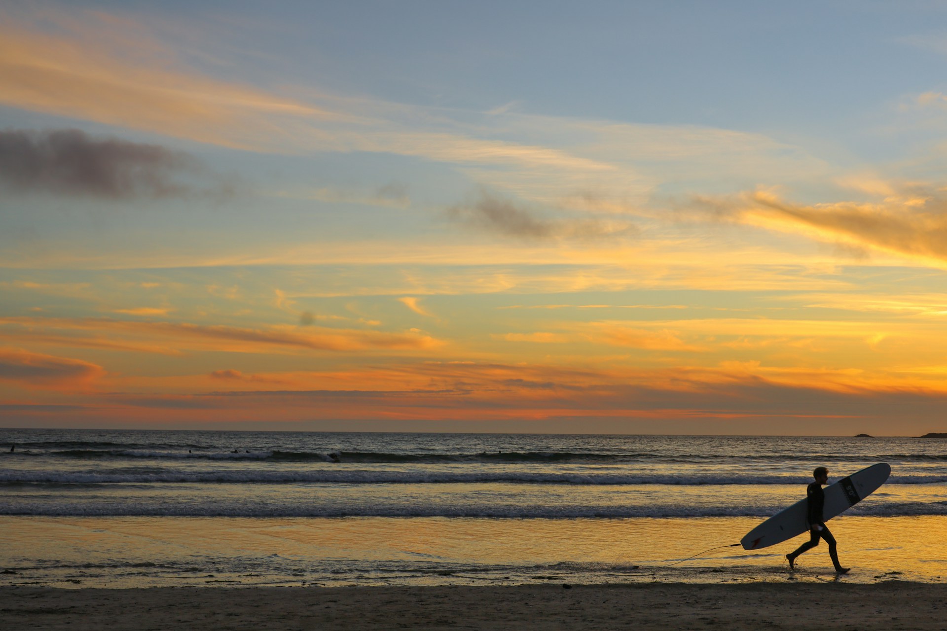
Tofino and Ucluelet: Surf Towns and Untouched Shores
Tofino and Ucluelet are, hands down, some of Canada’s coolest surf towns. Tofino sits on the edge of Clayoquot Sound, where Long Beach stretches forever and the waves just keep rolling in.
The town still feels laid-back, even as more people discover it. Surf shops rent boards and wetsuits all year. If you’re after the best waves, shoot for March to October.
Ucluelet is quieter, just a short drive south. The Wild Pacific Trail snakes along cliffs with unreal ocean views. You can hit up several lookouts along the 8.5-kilometer path—perfect for whale watching.
Both towns hide secret coves you can reach by short hikes. Chesterman Beach near Tofino is great for tide pools, while Amphitrite Point in Ucluelet delivers epic sunsets over the Pacific.
Pacific Rim National Park Reserve: Rainforests and Remote Beaches
This 511-square-kilometer park protects some of Vancouver Island’s wildest coast. There are three main areas, each with its own flavor.
The Long Beach Unit covers the famous stretch between Tofino and Ucluelet. Towering Sitka spruce and red cedar trees line up behind white sand beaches. The Rainforest Trail gives you a taste of old-growth forest without a marathon hike.
Broken Group Islands in Barkley Sound offer over 100 islands and islets. Calm, clear waters make it a sea kayaker’s dream. I’ve paddled through narrow channels and found beaches you can only reach by boat.
The West Coast Trail is a beast—75 kilometers of rugged coastline for serious hikers. You’ll slog through rainforest, scramble over driftwood, and pop out onto hidden beaches with sea stacks and coves shaped by the wild Pacific.

Haida Gwaii: Mystical Landscapes and Rich Heritage
Haida Gwaii sits about 100 kilometers off the BC mainland, made up of over 200 islands. It’s a place where Haida First Nation culture and untouched wilderness blend together in a way that’s honestly hard to describe.
You’ll find ancient rainforests, storm-battered beaches, and wildlife you won’t see anywhere else.
Indigenous Culture and History
The Haida Nation has lived here for thousands of years. Their culture runs deep, and you can feel it everywhere—from the art to the way the land is cared for.
The Haida Heritage Centre on Graham Island is a must. It’s packed with stories, art, and guided tours that bring Haida history to life.
SGang Gwaay Llnagaay is a UNESCO World Heritage Site. This ancient village has centuries-old totem poles telling stories of the ancestors. The place has a powerful, spiritual energy.
At Windy Bay, I got to see the spot where the first totem pole in 130 years was raised—a huge moment for the Haida people.
If you’re a foodie, Keenawaii’s Kitchen serves up traditional Haida dishes that connect you straight to the land and sea.
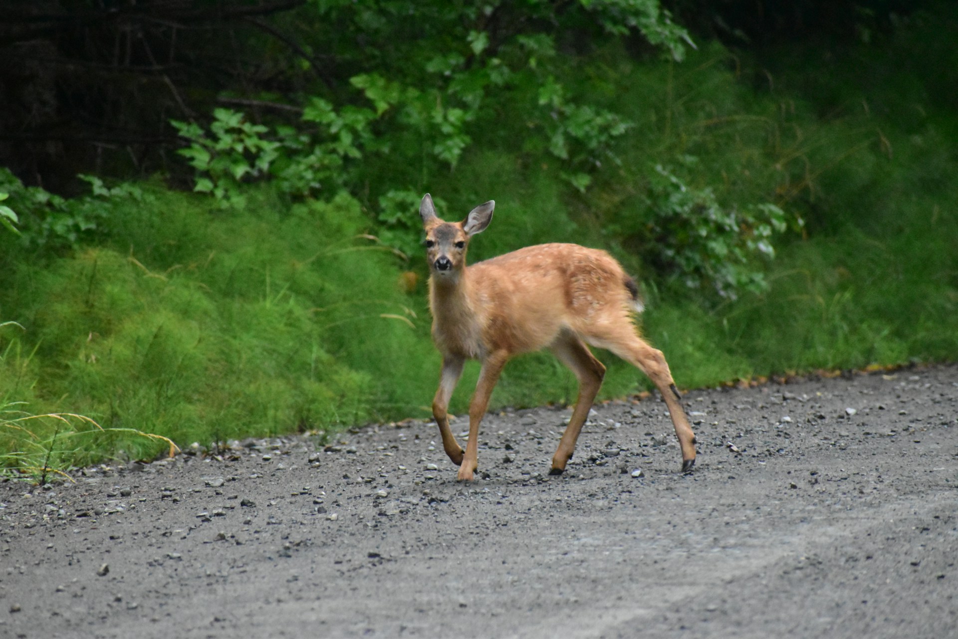
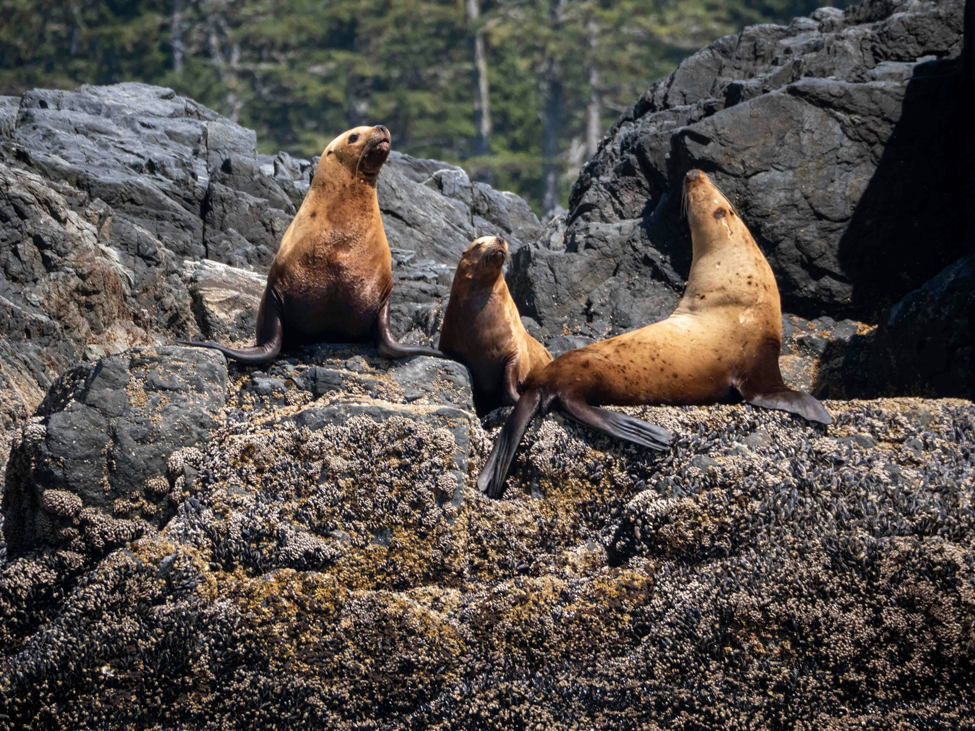
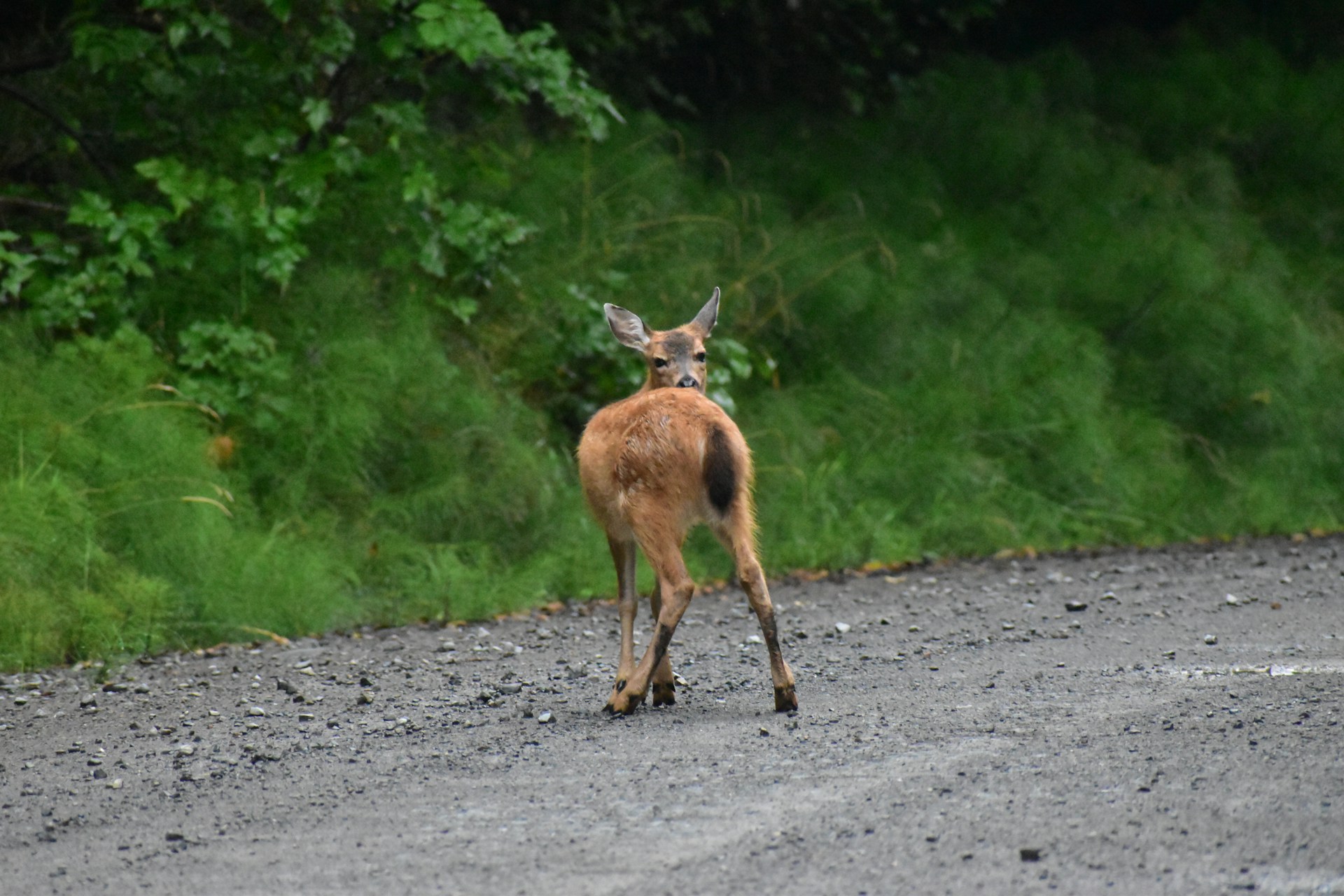
Wildlife and Pristine Wilderness
Gwaii Haanas National Park Reserve covers the southern third of these islands. The rainforest here is home to creatures you won’t find anywhere else.
Wildlife you might spot:
- Black bears (bigger than the mainland ones!)
- Sitka deer
- Bald eagles and tons of seabirds
The waters are just as lively. Humpback whales, orcas, dolphins, and sea lions all show up regularly. Sometimes you’ll spot them right from the shore.
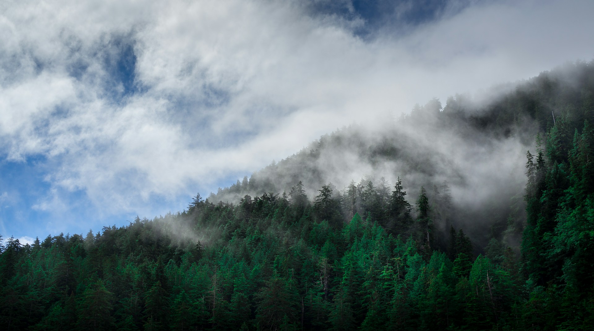
Massive old-growth forests blanket the islands. Walking beneath those trees feels a bit like stepping into a cathedral.
The coast is rugged, with sea stacks and empty beaches. After a storm, tide pools fill with colorful little creatures—nature’s own aquarium.
Calvert Island: Remote Beaches and Ancient Footprints
Calvert Island hides 13,000-year-old human footprints beneath its beaches. You’ll find sugar-white sand and emerald rainforests about 400 kilometers north of Vancouver.
Discovering North America’s Oldest Human Traces
Not long ago, I read about a team from the University of Victoria stumbling across 29 fossilized human footprints on Calvert Island. Imagine standing where someone did 13,000 years ago—the oldest human traces ever found in North America.
Turns out, two adults and a child once walked barefoot across these very sands. Researchers dug them up from beneath layers of beach sand at the Meay Channel archaeology site.
Dr. Duncan McLaren led the dig, and his team unearthed the prints in ancient sediments. Back then, sea levels sat 6.5 to 10 feet lower than what we see today.
These footprints hint at early humans traveling along coastal routes from Asia into North America. It’s wild to picture seafaring people living here as the last Ice Age faded away.
Radiocarbon dating nailed down the age of these prints. This find really strengthens the theory that the first Americans migrated along the Pacific coast.
#/media/File:CalvertIsland.JPG)
Exploring Caribbean-Like Sands and Waters
Calvert Island hugs the southern edge of the Great Bear Rainforest. Its sugar-white sands honestly rival what you’d see in the Caribbean.
Crystal-clear water washes up on untouched beaches. Lush temperate rainforest frames the shoreline in deep green.
The island feels worlds away from the bustle of civilization. You can only get here by boat, which keeps things pretty quiet.
Secluded coves break up the coastline, each one perfect for a private wander. The mix of white sand and ancient forest feels almost otherworldly.
No roads, no big resorts—just nature, left mostly alone. This kind of isolation protects both the archaeological wonders and the wild beauty.

Other Notable West Coast Island Getaways
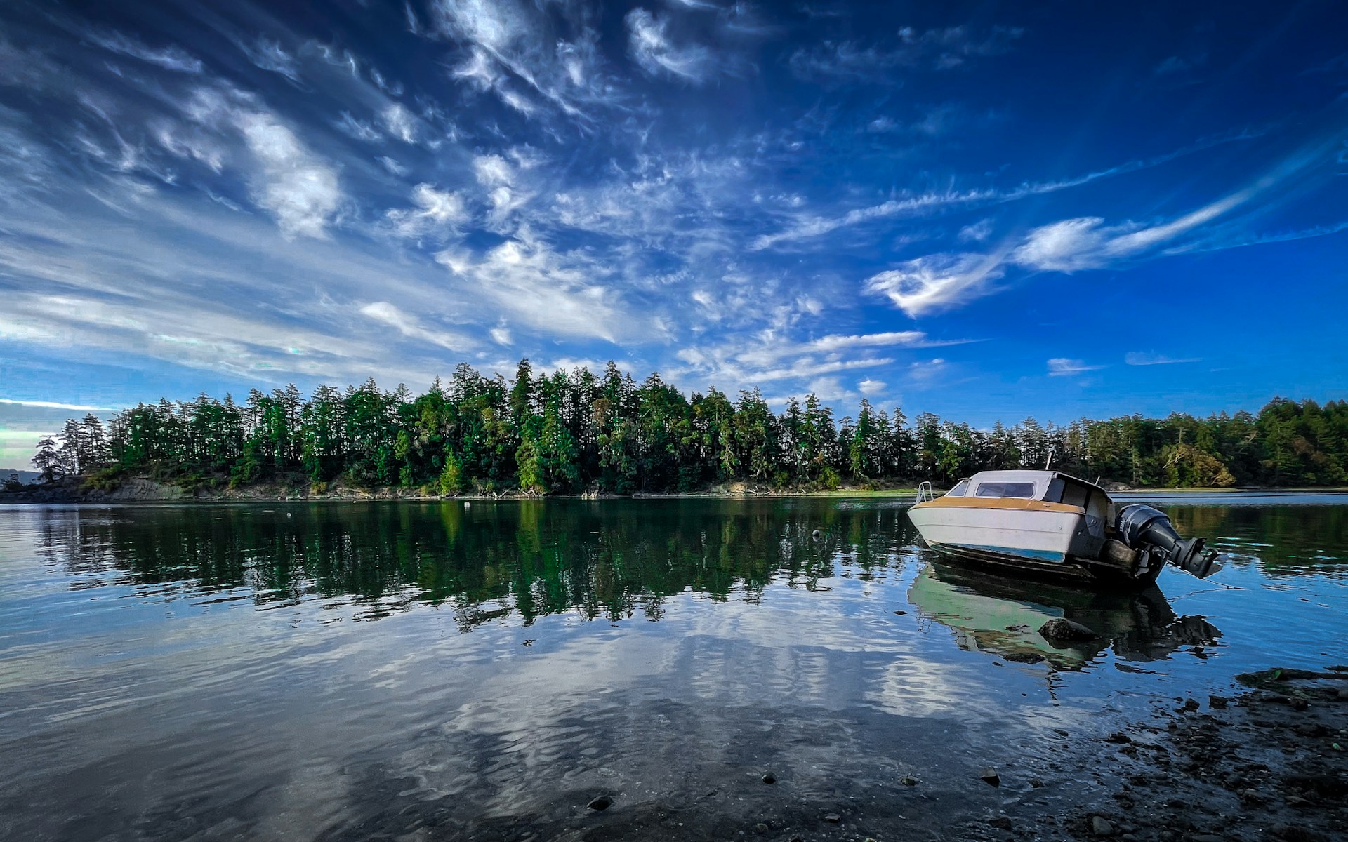
Quadra Island packs a punch for adventure lovers just a short hop from Campbell River. Meanwhile, Texada Island offers up cool geology and peaceful escapes far from the crowds.
Quadra Island: Adventure and Outdoor Activities
I can’t help but rave about Quadra Island—definitely one of the best islands in Canada for outdoor fun. It’s a quick 10-minute ferry ride from Campbell River, but it feels like a world apart.
Adventure Activities:
- Paddle a kayak in calm, protected waters.
- Try your luck with world-famous salmon fishing.
- Explore forest trails by mountain bike.
- Hike up to mountaintop viewpoints for sweeping vistas.
Rebecca Spit Marine Provincial Park really stands out. A skinny finger of land, beaches on both sides—plus, the lagoon’s warm water is perfect for a swim or paddle.
Cape Mudge Village invites you to dive into local culture at the Nuyumbalees Cultural Centre. Inside, you’ll find a stunning collection of potlatch artifacts.
The Heriot Bay Inn is where everyone seems to gather. Grab a seat on the patio, order some fresh seafood, and soak in the view.
Feeling ambitious? The Chinese Mountains trail rewards hikers with jaw-dropping panoramas of Discovery Passage and the distant mainland peaks.
.jpg)
Texada Island: Geology and Quiet Escapes
Texada Island really stands apart from other islands in Canada—mostly thanks to its wild limestone geology and a mining history that’s honestly hard to miss. You’ll find it out in the Strait of Georgia, stretching about 50 kilometers. Once you’re there, the city feels a million miles away.
Geological Features:
- Limestone caves, with mysterious karst formations sprinkled throughout
- Rocks absolutely packed with fossils
- Old quarries and mining relics you can still wander through
- The occasional oddball mineral deposit
I set up camp at Shelter Point Regional Park. If you’re looking for the best spot to pitch a tent and hit the beach, this is it. There’s a pebble shoreline, and the mountain views across the water? Unbeatable.
One afternoon, I wandered through abandoned quarries and stumbled across rusted mining equipment. You can almost feel the echoes of Texada’s boom days from the 1890s.
Gillies Bay is where most of the action happens—well, as much action as you’ll find on Texada. It’s a cozy village with just enough: a general store, a little restaurant, and a few places to stay.
Rock hounds absolutely love this place. If you’re into fossils or quirky minerals, the shoreline never disappoints. Sometimes, I wonder if there’s anywhere else in Canada that feels quite like this.