America’s great rivers aren’t just lines on a map—they’re wild, winding routes for epic cross-country water adventures. These waterways stretch for thousands of miles, linking mountains to oceans and deserts to lush forests.
Seven key river systems give paddlers, rafters, and boaters a chance to travel entire regions while soaking in diverse landscapes and deep history. From the mighty Mississippi rolling through America’s heartland to the dramatic canyons of the Colorado, each river has its own story. These rivers shaped how people moved across the land for centuries, and honestly, there’s still nothing else quite like them.
I’ve spent years fascinated by how these rivers connect the country in ways highways never could. The Missouri and Ohio Rivers opened the West. The Columbia and Saint Lawrence tie together cultures and landscapes you’d never expect. And sure, the big seven get all the glory, but rivers in Alaska and California? They’re perfect for anyone craving a multi-day adventure off the beaten path.
Overview of America’s Major River Systems
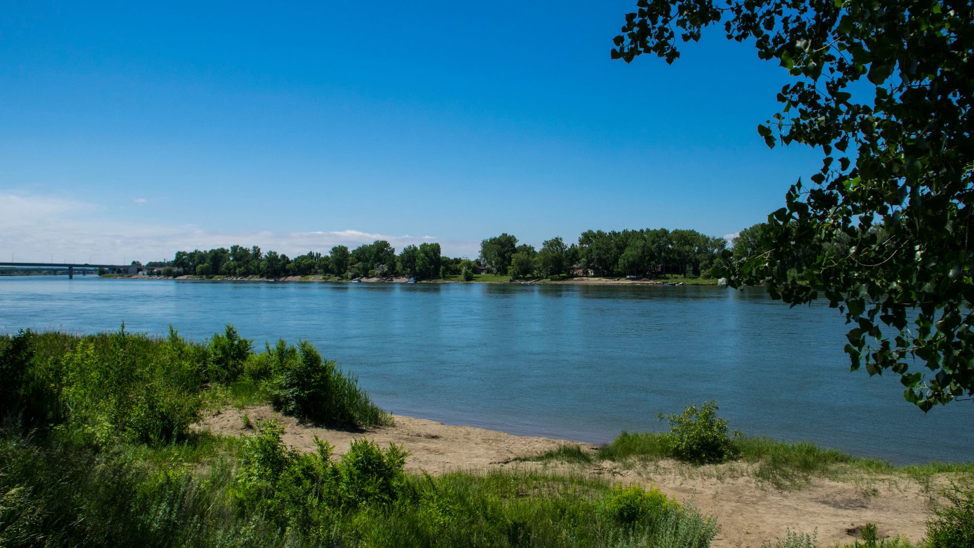
America’s rivers form sprawling networks, some of them running for thousands of miles. The Missouri River alone stretches 2,341 miles, while the Columbia winds through the Pacific Northwest. These rivers shape entire regions and connect communities from the Rockies to the Atlantic.
Geographic Distribution and Course
America’s major rivers follow distinct patterns across the continent. The Mississippi River System dominates the central U.S., flowing 2,340 miles from Minnesota to the Gulf of Mexico.
The Missouri River starts in Montana’s Rockies and meets the Mississippi in Missouri, forming North America’s longest river system.
The Colorado River runs for 1,450 miles through seven western states. It starts up in the Colorado Rockies and ends at the Gulf of California.
Up in the Pacific Northwest, the Columbia River travels 1,243 miles from the Canadian Rockies to the Pacific. The Snake River, its major tributary, adds even more adventure.
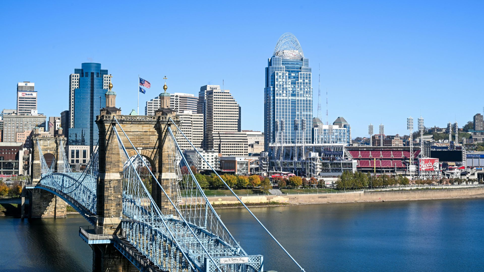
The Ohio River flows 981 miles from Pennsylvania and joins the Mississippi in Illinois. It drains a huge chunk of the eastern U.S.
The Rio Grande forms a natural border with Mexico, running 1,896 miles from Colorado to the gulf. The Yukon River, way up north, covers 1,980 miles through Alaska and Canada.
The Saint Lawrence River connects the Great Lakes to the Atlantic. It’s a vital shipping corridor cutting through the continent’s interior.

Hydrological Significance
These rivers drain huge swaths of North America. The Mississippi River System alone collects water from 31 states and covers 1.2 million square miles.
Thousands of tributaries feed into these rivers. Little creeks and streams come together, eventually making their way to the ocean.
The Great Lakes pour into the Saint Lawrence, creating one of the world’s largest freshwater networks.
The Colorado River supplies water to over 40 million people. The Columbia River generates a ton of hydroelectric power through its many dams.
The Ohio River provides drinking water for millions and keeps shipping moving. Farmers in the Great Plains rely on rivers like the Missouri for irrigation.
Role in American Heritage
These rivers shaped America’s story from the very beginning. The Mississippi became a superhighway for early explorers and settlers.
Lewis and Clark used the Missouri River to chart the West. The Ohio River marked the line between free and slave states before the Civil War.
Cities like St. Louis, New Orleans, and Pittsburgh grew up along these rivers. Their locations weren’t random—rivers made them thrive.
The Yukon River lured gold seekers during the Klondike Gold Rush. Even now, rivers support shipping, fishing, and tourism.
Writers like Mark Twain captured the magic of river life on the Mississippi. These waterways still inspire art, music, and adventure.
Conservation efforts now try to protect these rivers. Balancing economic needs with environmental protection? It’s an ongoing challenge.
Mississippi River: The Heart of Cross-Country Water Adventures
The Mississippi River is America’s ultimate water adventure. It runs 2,320 miles from Minnesota all the way to the Gulf of Mexico. Along the way, you’ll find historic river cruises, bustling cities like New Orleans and St. Louis, and endless fishing and boating spots.
Historic River Cruises and Cultural Experiences
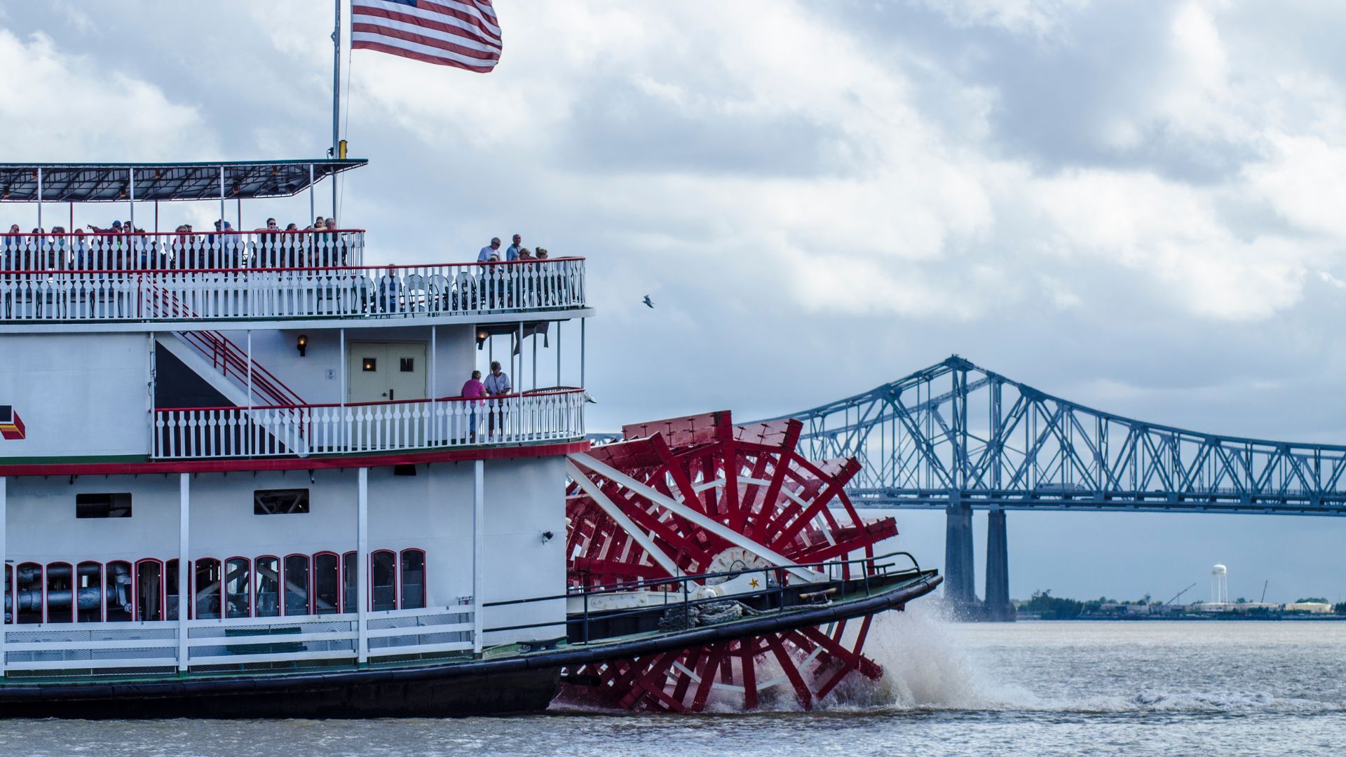
If you want to feel like you’ve stepped into a Mark Twain novel, hop on a paddlewheel steamboat. These cruises run from spring to fall and let you soak in river life on authentic boats.
Jazz was born along these banks, especially in New Orleans. Many cruises feature live jazz and stops at historic plantations.
Favorite Historic Cruise Routes:
- St. Louis to New Orleans (7-10 days)
- Memphis to Natchez (4-5 days)
- Minneapolis to St. Louis (6-8 days)
Natchez is packed with antebellum architecture—over 500 historic buildings, if you’re counting. It’s a real step back in time.
Mark Twain’s influence is everywhere. Hannibal, Missouri, is a must—tour his boyhood home and the caves that sparked his imagination.
Major Cities and Notable Landmarks
New Orleans is the Mississippi’s crown jewel. The French Quarter, legendary food, and the birthplace of jazz? It’s all here.
St. Louis stands out with the Gateway Arch, a 630-foot monument to the city’s role as “Gateway to the West.” You can ride to the top for sweeping river views.
Top River Cities to Explore:
- Minneapolis – River headwaters and waterfalls
- Memphis – Blues and barbecue
- Vicksburg – Civil War battlefields
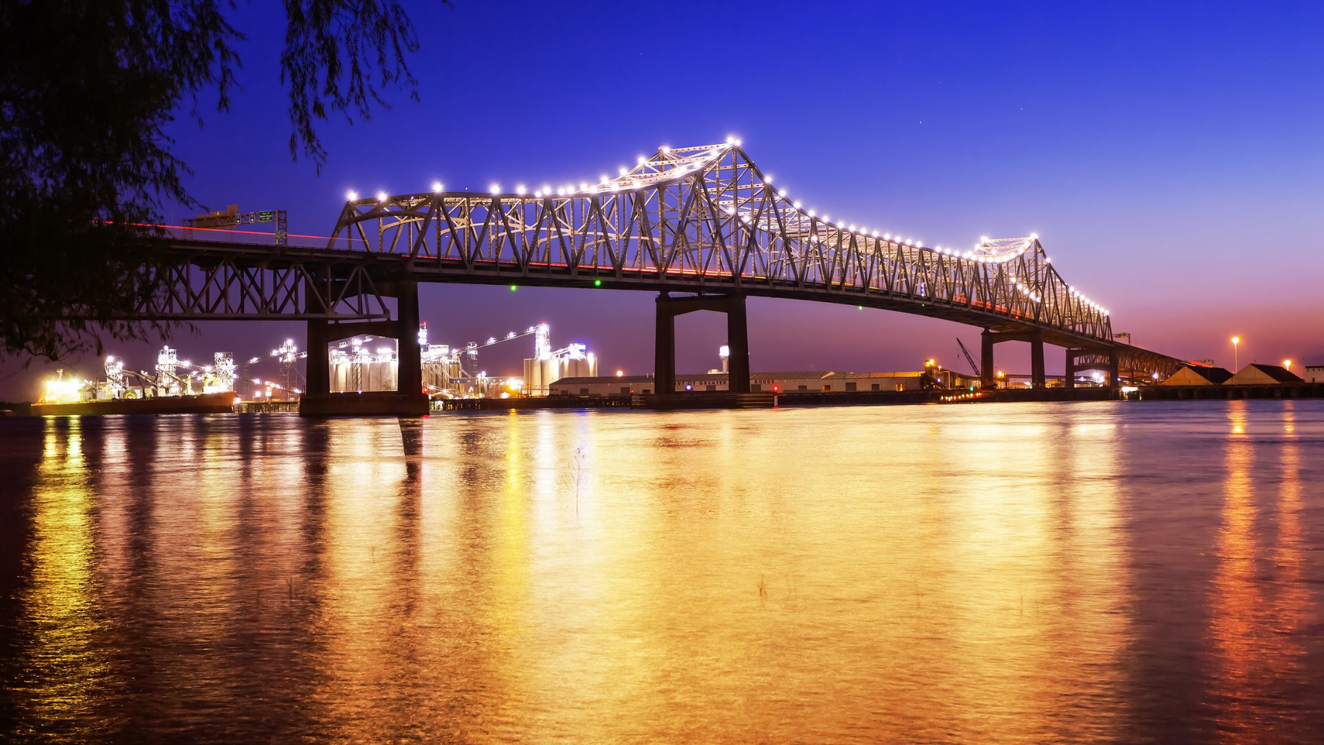
- Baton Rouge – Louisiana’s capital and plantation tours
Each city has its own riverfront vibe. Stroll riverwalks, check out museums, or grab dinner with a view.
The river winds through 10 states, so you’ll see everything from northern forests to southern bayous.
Fishing, Boating, and Recreation
The Mississippi is a dream for freshwater anglers. Depending on where you are, you can catch catfish, bass, walleye, and more.
Top Fish by River Section:
- Upper Mississippi – Walleye, northern pike, smallmouth bass
- Middle Mississippi – Largemouth bass, catfish, crappie
- Lower Mississippi – Catfish, gar, redfish (near the Gulf)
Some of the best fishing happens near wing dams and backwaters. Fish love the calm water there.
Boating is huge from Minneapolis to New Orleans. Every major river city has marinas and launches.
Tributaries like the Missouri, Ohio, and Arkansas flow into the main channel, offering endless side trips.
Camping? Plenty of state parks and wildlife refuges line the river. Many have direct access for kayaks or small boats.
Exploring the Missouri and Ohio Rivers: The Pathways of Westward Expansion
The Missouri and Ohio Rivers were America’s original highways. Explorers like Lewis and Clark followed these waterways across 8,000 miles of wild, uncharted territory. Today, they still offer some of the best routes for modern river travelers.
Lewis and Clark Expedition Legacy
Lewis and Clark set out on the Missouri River in 1804, using it as their main road west. Their journey covered 5,000 miles just on the Missouri—a staggering feat.
They launched near present-day St. Louis, where the Missouri joins the Mississippi. The river led them northwest through the Louisiana Purchase, a massive land deal Jefferson struck with France.
Big expedition moments:
- Meeting Omaha, Sioux, and Mandan tribes
- Wintering at Fort Mandan in North Dakota
- Portaging 20 miles around the Great Falls
- Reaching Three Forks, where three rivers create the Missouri
The crew included 32 people and Lewis’s loyal dog, Seaman. At Fort Mandan, they added Sakakawea, a 15-year-old Shoshone guide with her baby. She was crucial for navigation and tribal diplomacy.
At the Continental Divide, Lewis realized there was no easy water route to the Pacific. That ended dreams of a Northwest Passage but opened up a whole new understanding of the West.
Irrigation, Agriculture, and Regional Impact
The Missouri River Basin now supports huge irrigation systems in seven states. This river basically turned the Great Plains into America’s breadbasket.
Modern irrigation from the Missouri waters millions of acres. Farmers grow corn, soybeans, and wheat across Nebraska, Kansas, Iowa, and Missouri.
How rivers changed agriculture:
- More crop diversity thanks to reliable water
- River towns boomed into agricultural centers
- Irrigation systems keep rural communities thriving
The Ohio River was also key for early agriculture and settlement. It marked the line between free and slave states, and many escaped slaves crossed it seeking freedom.
Kansas City and Omaha grew into major cities because of river trade. By the mid-1800s, these towns were bustling hubs along the water.
Unique River Adventure Routes
Some river sections are perfect for modern boating trips. The Missouri National Recreational River protects stretches ideal for canoeing and kayaking.
The White Cliffs near Havre, Montana, are unreal. Lewis compared these limestone formations to ancient castles and pyramids shaped by water.
Favorite adventure routes:
- Upper Missouri: Fort Benton to Judith Landing (149 miles)
- Missouri National Recreational River: Yankton to Ponca State Park (98 miles)
- Ohio River: Louisville to Cincinnati (100 miles)
The Gates of the Mountains near Helena, Montana, offer a dramatic canyon experience. Boating through these limestone cliffs feels otherworldly.
You can retrace Lewis and Clark’s journey with GPS and detailed maps now. Outfitters run guided trips that blend history with adventure.
The Ohio River is navigable from Pittsburgh to the Mississippi, thanks to locks and dams that keep water levels steady year-round.
Dramatic Journeys on the Colorado and Snake Rivers
The Colorado River slices through the Grand Canyon, while the Snake River forms North America’s deepest gorge at Hells Canyon. Both rivers are legendary for whitewater, fishing, and wildlife.
Grand Canyon Expeditions
The Colorado through Grand Canyon is the stuff of bucket lists. Multi-day rafting trips run from 3 to 18 days, covering 226 miles of jaw-dropping canyon.
River Sections:
- Upper Canyon: Lees Ferry to Phantom Ranch (88 miles)
- Lower Canyon: Phantom Ranch to Lake Mead (138 miles)
- Full Canyon: The entire 226-mile stretch
You’ll hit over 160 rapids, including wild Class V runs like Lava Falls and Crystal Rapid. The water stays cold year-round—usually 46-50°F.
Most people go in motorized rafts or smaller oar boats. Motor trips take 6-8 days; oar trips stretch to 12-18 days.
Best times to go:
- April-May: Cooler temps, higher water
- September-October: Warm days, fewer crowds
Permits are tough to get. The National Park Service only gives out about 1,000 a year, and there’s a lottery.

Hells Canyon and Whitewater Routes
The Snake River’s Hells Canyon plunges 7,993 feet deep, making it North America’s deepest river gorge. It’s a granite-walled playground for whitewater fans.
River Sections:
- Hells Canyon Dam to Pittsburg Landing: 32 miles, Class III-IV rapids
- Pittsburg Landing to Heller Bar: 79 miles, mostly Class II-III
Most of the canyon is unreachable by road, so the river’s your only way in. Jet boats run day trips from Clarkston and Lewiston.
Multi-day rafting trips last 3-6 days and take you through remote wilderness. Rapids like Wild Sheep, Granite, and Rush Creek Falls keep things exciting.
Wildlife highlights:
- Bighorn sheep on the cliffs
- Black bears and elk wandering the slopes
- Golden eagles and peregrine falcons overhead
The canyon also preserves Nez Perce cultural sites—look for petroglyphs and ancient horse trails carved into the hills.
Fishing, Rafting, and Wildlife Encounters
Both rivers? They’re a dream for anglers. The Colorado River just below Glen Canyon Dam teems with trophy trout, thriving in that clear, cold water.
Colorado River Fishing:
- Rainbow trout—yep, some push past 20 inches
- Brown trout hiding out in the deeper pools
- Fishing runs all year below the dam
The Snake River system? It’s got everything from tiny mountain streams to huge reservoirs. Steelhead runs, especially, pull in anglers from all over.
Snake River Species:
- Steelhead (watch for those seasonal runs)
- Rainbow and cutthroat trout
- Smallmouth bass in the lower stretches
- Massive sturgeon where the Snake meets the Columbia
Wildlife? Oh, you’ll see plenty. I’ve spotted bighorn sheep, playful river otters, and honestly, more bird species than I could ever count.
Boating Options:
- Motorized rafts: Great for big groups and covering ground fast
- Oar boats: Slower, but you really get to soak in the scenery
- Kayaks: For the adrenaline junkies—whitewater here gets wild
- Jet boats: Perfect for quick day trips, especially in Hells Canyon
Planning ahead is a must. Both rivers require permits for overnight trips, and those can go fast.
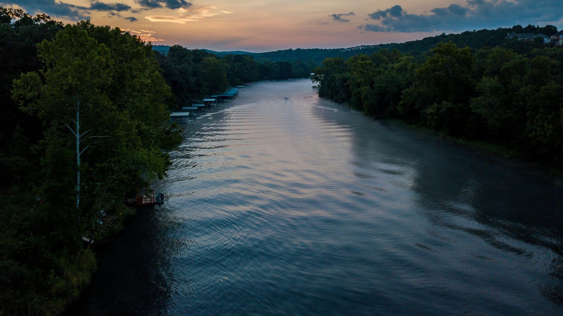
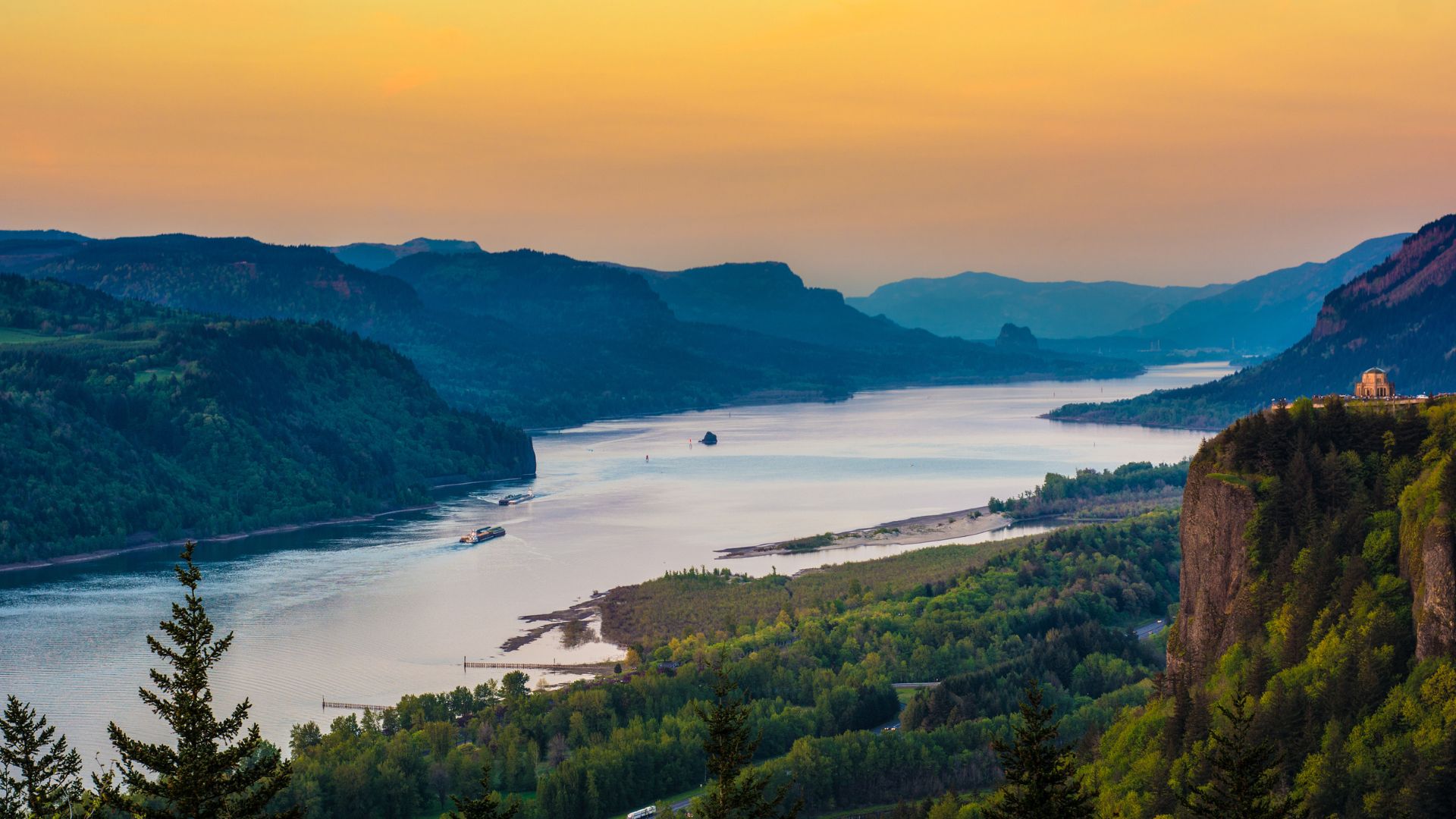
Columbia and Saint Lawrence Rivers: Connecting Landscapes and Cultures
The Columbia River system? It’s not just a river—it’s a wild gorge adventure and a cultural journey. Indigenous art installations pop up along the way, and the Saint Lawrence River opens the door to all five Great Lakes, plus some unforgettable cross-border boating.
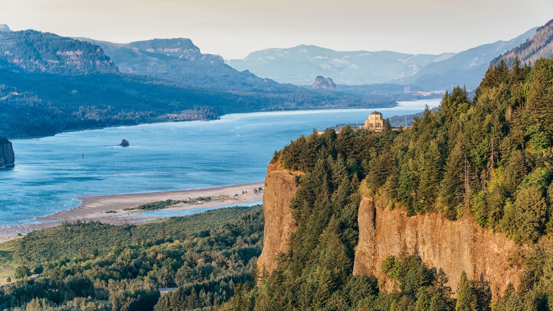
Columbia River Gorge Adventures
The Columbia River Gorge? Absolutely jaw-dropping. I’ve wandered along dramatic cliffs, chased waterfalls, and gotten lost in lush greenery right along its winding path.
It stretches 438 miles through Oregon and Washington, and along the way, Maya Lin’s art installations invite you to pause and reflect. These “art landscapes” highlight places that matter to Columbia River tribes—history you can actually stand in.
Adventure Activities:
- White-water rafting through canyons that’ll make your jaw drop
- Kayaking close to those cultural art sites
- Salmon and steelhead fishing (bring your lucky hat)
- Scenic cruises past cliffs that tower over the water
At the Snake River confluence, the sense of history is real. Lewis and Clark landed here, greeted by 200 singing Indigenous people. These days? You can camp and launch your boat right where those worlds met.
Saint Lawrence Waterway and Great Lakes Access
The Saint Lawrence River is the gateway to North America’s freshwater heart. This 2,500-mile waterway links all five Great Lakes with the Atlantic—a paddler’s dream.
Start at Lake Superior, drift through Lake Huron, Michigan, Erie, and then ride the river northeast through Quebec and New York, all the way to the Gulf of Saint Lawrence.
Great Lakes Access Points:
- Lake Superior: Biggest and deepest—seriously, it feels endless
- Lake Michigan: The only one entirely in the US
- Lake Huron: Packed with islands just begging to be explored
- Lake Erie: Warmest, most southern, and super lively
The Saint Lawrence Seaway System is busy with both pleasure boats and big ships. I love knowing I’m paddling ancient trade routes used by Indigenous peoples long before modern navigation.
Unique Boating and Cruise Experiences
Both river systems serve up their own flavor of cross-border adventure. The Columbia River? Think rugged western beauty and powerful cultural stories. The Saint Lawrence? It’s all about historic waterways and international vibes.
On the Columbia, I launch from all sorts of spots along those 438 miles. The partnerships with Native American tribes bring a deeper cultural layer to every trip.
The Saint Lawrence? Two countries, multiple provinces, and, yes, you’ll need your passport. The seaway handles everything—from kayaks to cruise ships.
Boating Highlights:
- Multi-day Great Lakes cruises that feel endless
- Border crossings (don’t forget your paperwork)
- Lighthouse stops for that perfect photo
- Visits to Indigenous cultural sites
The Saint Lawrence connects the continent’s interior straight to the Atlantic. It’s ideal for ambitious cruisers who want a mix of freshwater and salty maritime adventure.
Iconic Waterways Beyond the Big Seven: From the Yukon to the Tuolumne
America’s adventure rivers? They go way beyond the famous seven. The Yukon is pure wilderness, Niagara Falls anchors a legendary water trail network, and out west, rivers like the Tuolumne are hidden treasures for those in the know.
Yukon River Wild Expeditions
Honestly, not many rivers rival the Yukon for raw, wild beauty. It runs 1,980 miles from Canada, through Alaska, and finally out to the Bering Sea.
The classic trip covers 700 kilometers from Whitehorse to Dawson City. You’ll paddle the same waters that gold rush prospectors once braved in the 1890s.
What makes the Yukon special:
- Remote, untouched wilderness
- Gold rush relics and stories everywhere
- Fantastic fishing for salmon and northern pike
- Wildlife—think bears, moose, and the occasional eagle
In winter, the river freezes solid. Locals turn it into a snowmobile and sledding highway. Paddling season? June to September—don’t miss it.
Most paddlers spend 2-3 weeks on the full route. I always tell people: pack every supply you’ll need. There aren’t many places to restock out there. The current is steady, not scary, so intermediate paddlers should do just fine.
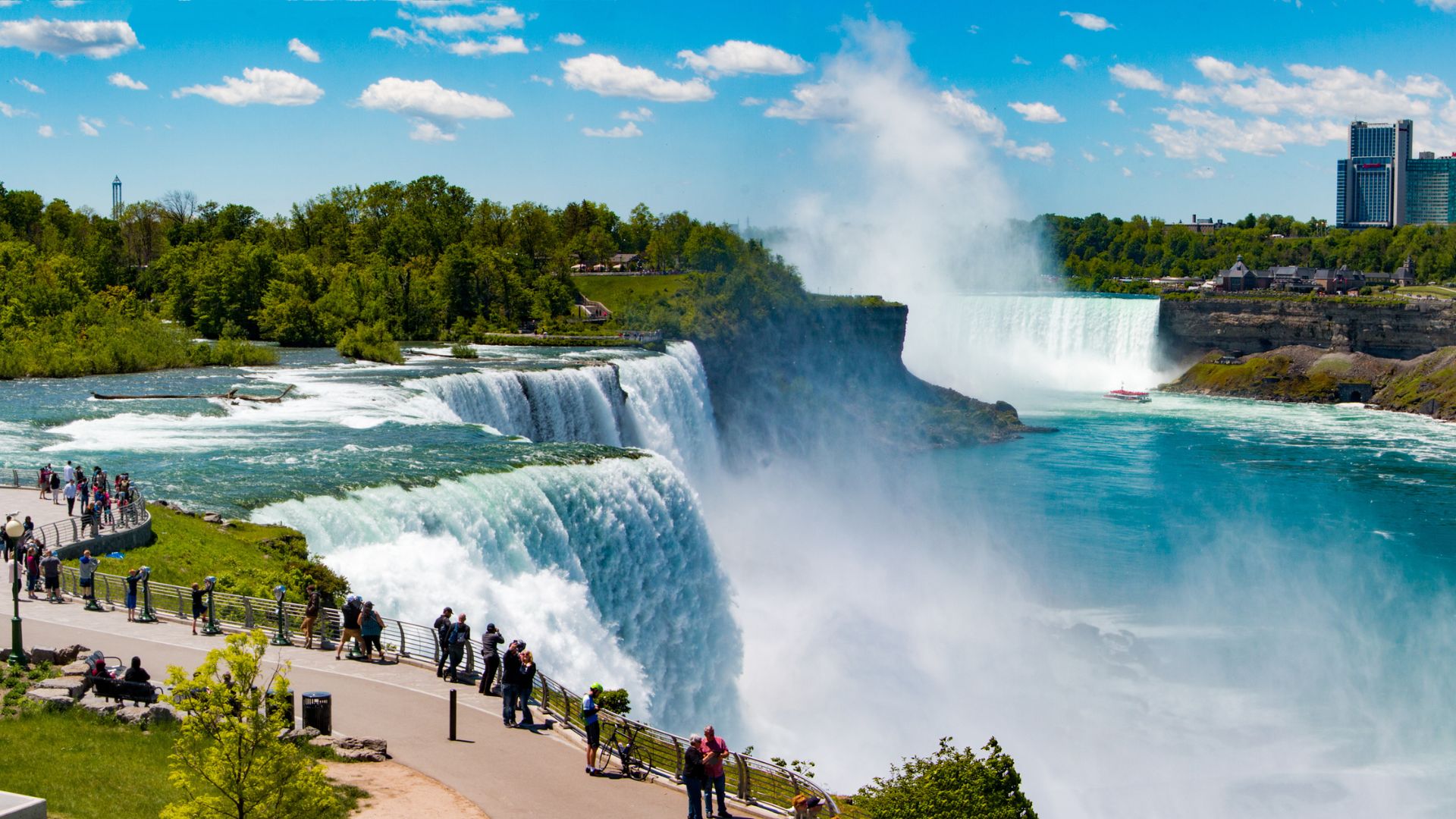
Niagara Falls and Upstate Water Trails
Niagara Falls steals the show in upstate New York’s water trail scene. The Niagara River links Lake Erie to Lake Ontario, offering 35 miles of paddling with a little bit of everything.
Above the falls, the water stays calm—great for families or beginners. Downstream, the lower Niagara delivers world-class fishing for steelhead and salmon.
Key upstate water trails include:
- Erie Canalway Trail: 524 miles of living history
- Finger Lakes: 11 glacial lakes, all connected for epic paddling
- Adirondack waterways: Over 3,000 lakes and ponds—seriously, you could paddle forever
Every season brings something new. Spring’s run is perfect for fishing as the fish move upstream. Summer is prime time for camping right on the water.
One tip? Always check water levels before you launch. Hydroelectric dams upstream can change the flow in a flash.
Western Rivers and Off-the-Beaten-Path Adventures
The Tuolumne River in California captures the wild spirit of the West. It slices right through Yosemite National Park, revealing dramatic granite canyons that just beg to be explored.
If you love technical whitewater, this river throws down a serious challenge. April to July is prime time, thanks to all that glorious snowmelt.
Other western adventure rivers to put on your radar:
- Selway River (Idaho): Only for experts—expect wild whitewater and untouched wilderness.
- Green River (Utah): Perfect for multi-day trips winding through surreal red rock canyons.
- Salmon River (Idaho): Known as the “River of No Return,” it promises epic wilderness expeditions.
You’ll need to plan ahead for these rivers. Permits are a must, and access points are few and far between.
Honestly, western rivers have always demanded a little extra respect and preparation from me. Rapids get technical, and if something goes wrong, help could be hours away.
Still, there’s nothing like the scenery and the deep sense of solitude out here. It just makes every challenge feel totally worth it.