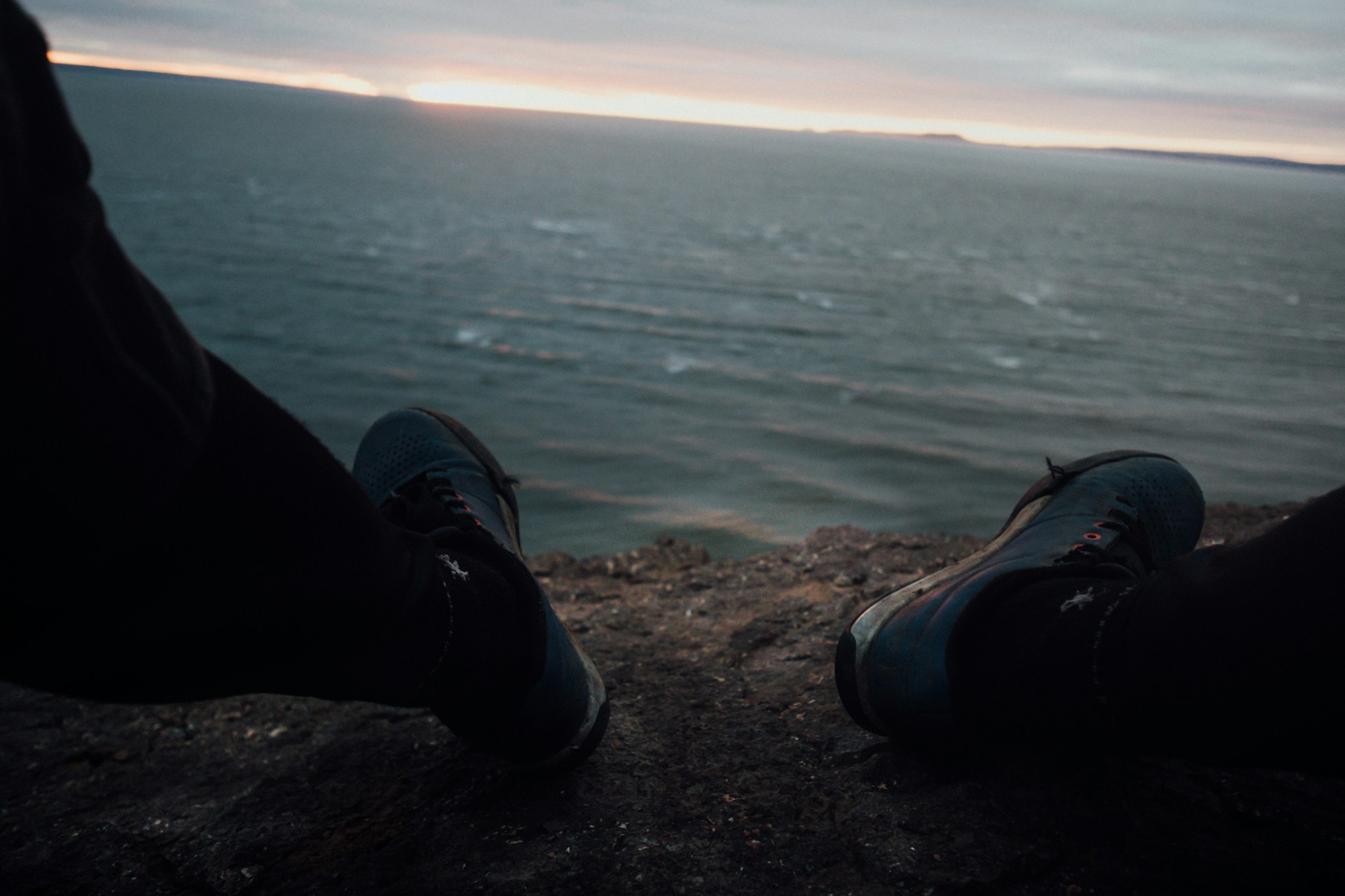
Picture this: 160 billion tons of water rush in and out of a massive bay, twice a day. I’ve stood on the shores of the Bay of Fundy in eastern Canada and watched nature put on what’s honestly the most powerful water show I’ve ever seen.
The Bay of Fundy boasts the world’s highest tides. Water levels can rise up to 53.6 feet between low and high tide. Imagine standing on the ocean floor at low tide, only to look up at a wall of water taller than a five-story building when the tide returns. Every six hours, the landscape transforms. It’s wild and a little humbling.
Let’s dive into what makes this natural wonder tick. There’s fascinating science behind these massive tides, and the bay’s unique rock formations are like nature’s artwork, shaped over thousands of years. Wildlife thrives here, and people find all sorts of ways to experience the tides. How does it compare to other tidal spots? Well, it’s really in a league of its own.
The World’s Highest Tides: The Bay of Fundy Phenomenon
The Bay of Fundy doesn’t mess around—it holds the record for the world’s most extreme tides. Water levels rise up to 53 feet, twice every day. That’s thanks to the bay’s funnel shape and a crazy resonance with the Atlantic Ocean.
Record-Breaking Tidal Range
Honestly, the Bay of Fundy’s tidal stats blow my mind. At the head of the bay in Nova Scotia’s Minas Basin, the range reaches 16 meters (53 feet).
That’s the highest tides on the planet. Most places? The average ocean tide is only about 1 meter (3 feet).
Each tide cycle moves over 100 billion tons of water. That’s more than all the world’s freshwater rivers combined—let that sink in.
Tidal Range Comparison:
- Bay of Fundy: 16 meters (53 feet)
- Global average: 1 meter (3 feet)
- Southwest Nova Scotia shore: 3.5 meters (11 feet)
The force behind these tides equals 8,000 locomotives. At the Minas Channel, it’s like 25 million horses pulling together.
Geography of the Bay of Fundy
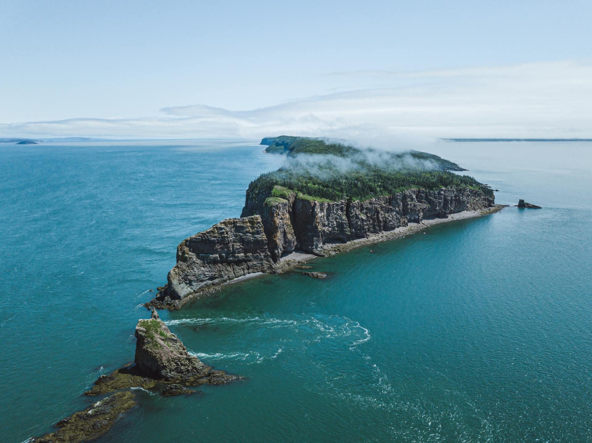
The Bay of Fundy sits wedged between Nova Scotia and New Brunswick on Canada’s Atlantic coast. Its geography really sets the stage for these record-breaking tides.
The bay stretches 280 kilometers (174 miles) from end to end. As it narrows and gets shallower inland, it forms a natural funnel.
That funnel shape squeezes incoming ocean water into tighter spaces. The water can’t spread out, so it just goes up—way up.
The bay’s depth and length set up a natural oscillation period of around 12-13 hours. That’s almost a perfect match for the Atlantic tide cycle of 12 hours and 26 minutes.
Key Geographic Features:
- Length: 280 km (174 miles)
- Shape: Natural funnel
- Depth: Changes dramatically
- Location: Between Nova Scotia and New Brunswick
High Tide and Low Tide Explained
High and low tides here show up twice a day, like clockwork. Each full cycle takes 12 hours and 26 minutes.
There’s about 6 hours and 13 minutes between high and low tide. The timing shifts forward by roughly an hour every day, so the show never gets old.
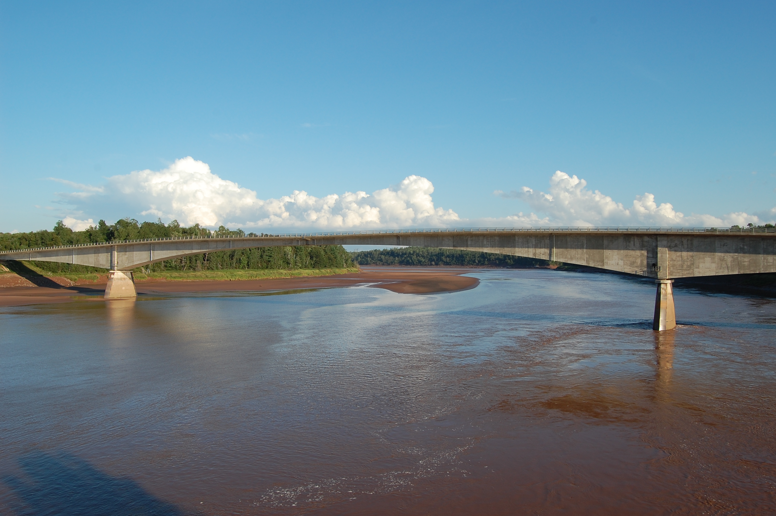
At high tide, boats float right at the dock tops. Six hours later, those same boats rest on the ocean floor, sometimes 16 meters below.
The water doesn’t just move up and down. It can travel up to 5 kilometers (3 miles) inland from its low tide spot.
Daily Tide Pattern:
- 2 high tides per day
- 2 low tides per day
- 6 hours 13 minutes between
- Times advance 1 hour daily
You can catch both high and low tide during daylight, which is great for exploring. The water rises and falls gently—it’s not a crashing wave, but a slow, steady change.
The Science Behind Fundy’s Tidal Phenomena
The extreme tides at the Bay of Fundy happen because of a perfect storm of factors: the moon’s gravity, the bay’s odd shape, and a natural resonance that supercharges tidal movement up to 50 feet, twice a day.
Gravitational Forces and Tidal Movements
The moon pulls the ocean toward it, and that’s what really drives tidal movements. As the moon circles Earth, its gravity tugs water into a bulge.
There’s another bulge on the other side, thanks to Earth’s rotation and the centrifugal force from the Earth-moon system.
The sun gets in on the action, too, though not as strongly as the moon. Its gravitational pull affects tides, but it’s about half as powerful because it’s so far away.
In Fundy, these forces create the rhythm: two high tides and two low tides every day. The tidal phenomenon repeats roughly every 12 hours and 25 minutes.
Spring Tides and Neap Tides
Spring tides show up when the sun, moon, and Earth line up. That happens during new and full moons.
When this alignment hits, the sun and moon’s gravity team up. That’s when the Bay of Fundy sees its highest highs and lowest lows.
During spring tides, the range can hit 16 meters (52 feet) in some spots. These wild tidal changes happen about twice a month.
Neap tides roll in when the sun and moon form a right angle with Earth—during the first and third quarter moons.
Here, the sun’s gravity cancels out some of the moon’s pull. The result? Smaller, less dramatic tides.
Resonance and Unique Bay Shape
The Bay of Fundy’s funnel shape acts like a giant amplifier for the tides. The wide mouth narrows inland, forcing a ton of water through a shrinking space.
That compression makes the water pile up higher than it would in the open ocean. The bay’s 270-kilometer length sets up perfect conditions for massive tidal phenomena.
Tidal resonance is the secret sauce. The bay’s natural rhythm matches the ocean’s tidal cycle almost perfectly.
It takes about 12 hours for water to move from one end of the bay to the other and back. That’s just right to sync with the 12.5-hour tidal cycle.
It’s like pushing a swing at just the right moment—each push makes the tides even bigger. This combo of shape and timing makes Fundy’s tides the most extreme anywhere.

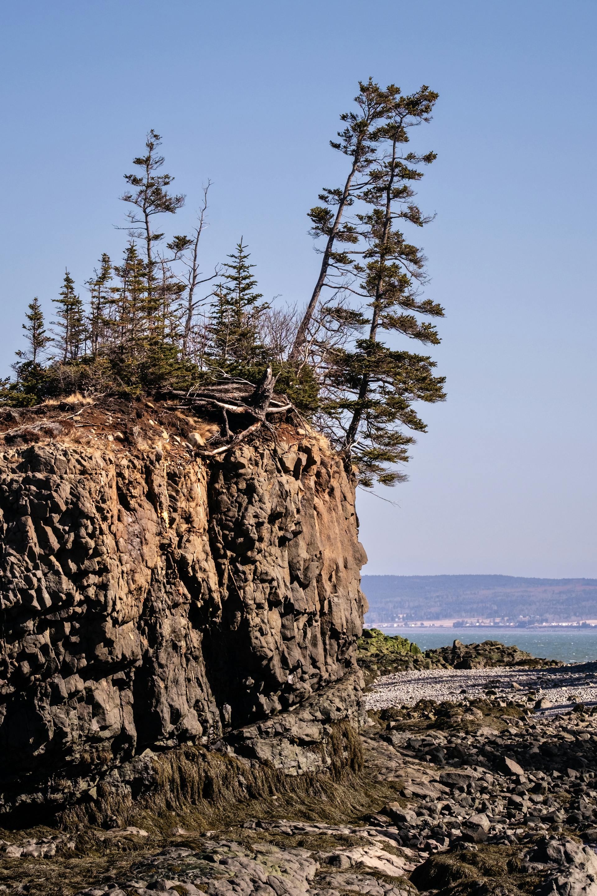
Natural Wonders Created by the Tides
Twice a day, Fundy’s massive tides go to work sculpting the coast. They carve out wild rock formations, expose endless mudflats, and peel back layers of ancient geology.
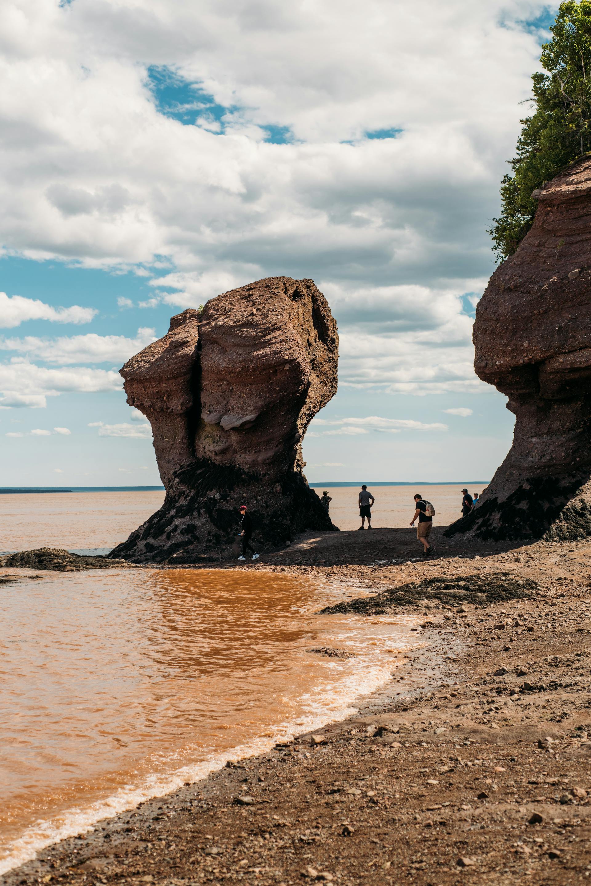
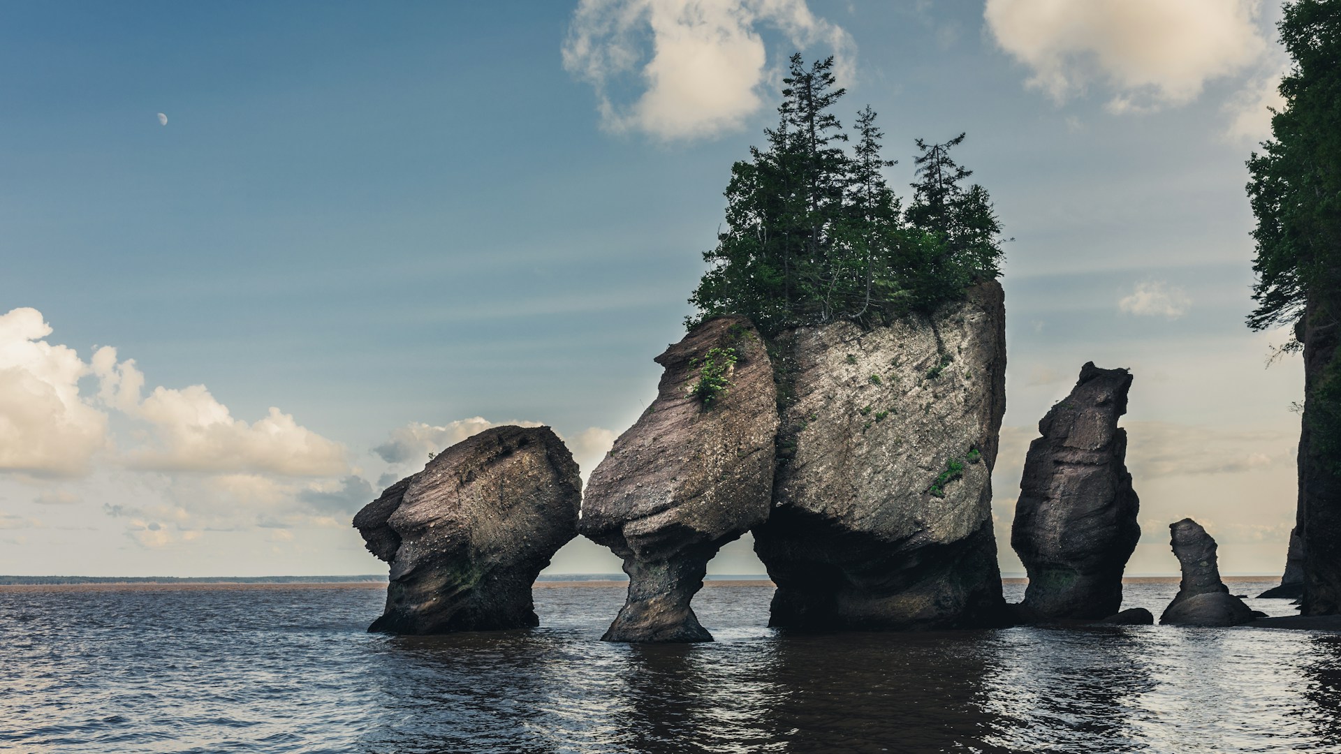
Hopewell Rocks and Sea Caves
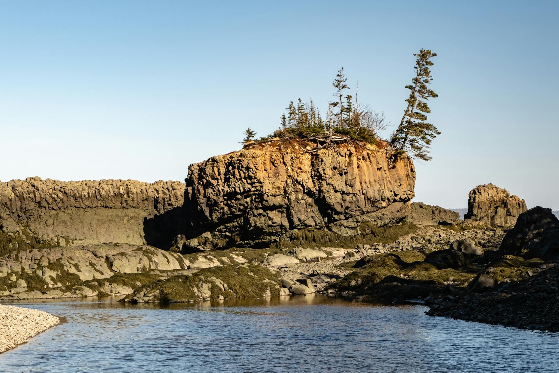
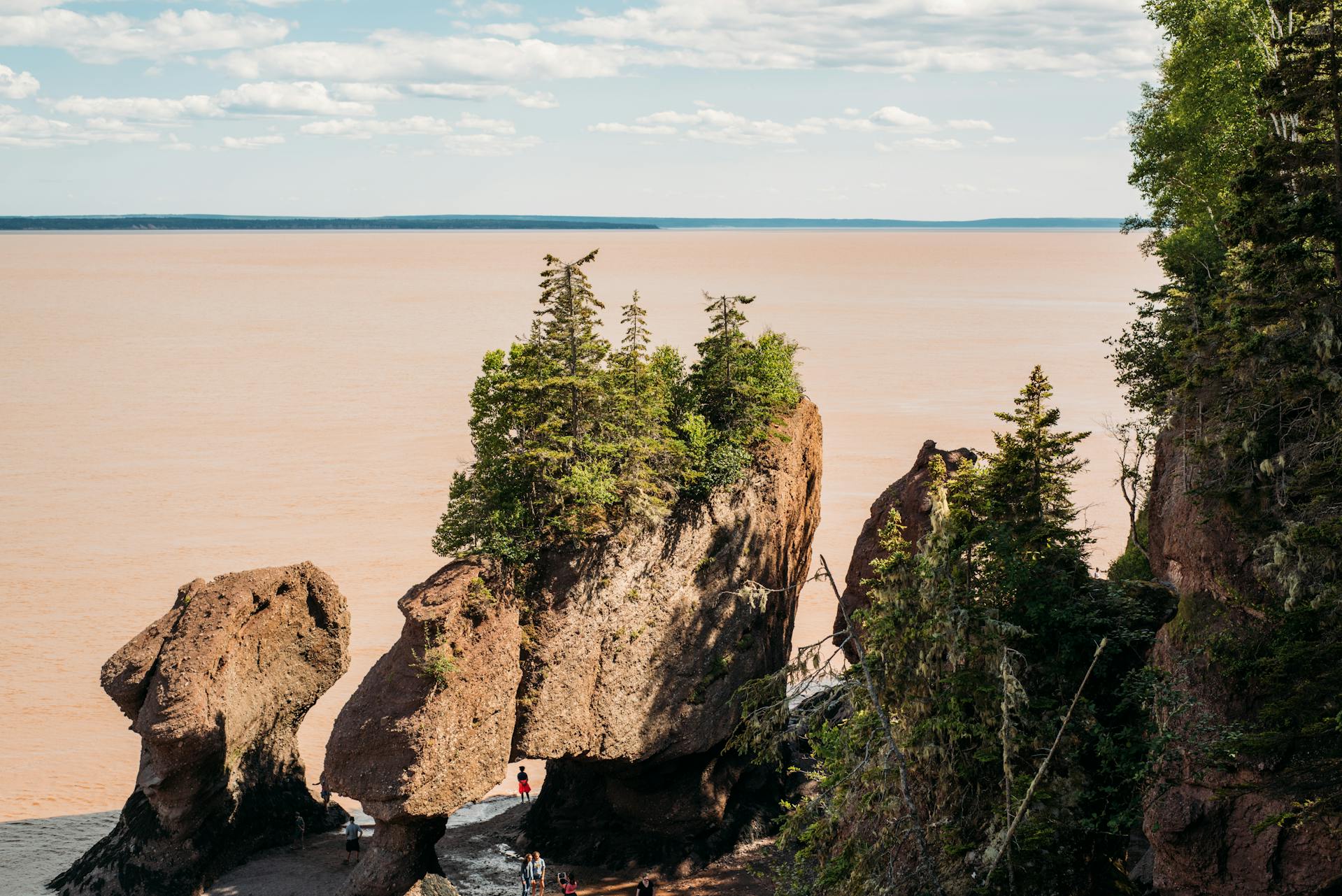
The Hopewell Rocks are the poster child for tidal erosion. These pillars rise up to 21 meters above the ocean floor at low tide. Relentless Fundy waters have carved them from red sandstone over thousands of years.
At high tide, just the treetops poke out, looking like little islands. When the tide’s out, you can walk right among these giants.
Their narrow bases make them look like giant flowerpots stuffed with trees. That odd shape comes from constant grinding by ice, saltwater, and sediment.
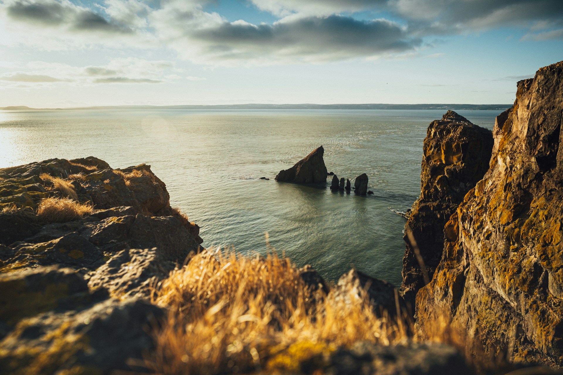
St. Martins is another tidal marvel. Here, red sandstone cliffs hide massive sea caves you can only explore at low tide.
At high tide, waves crash right into the cliffs. Six hours later, you can walk inside those same caves and run your hands along the sculpted walls.
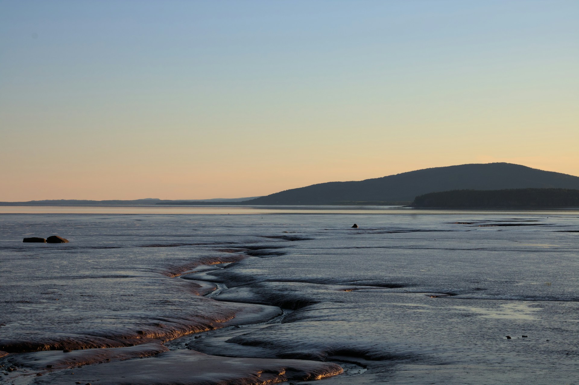
Intertidal Zone and Mudflats
Twice a day, the intertidal zone reveals itself—a buffet for wildlife. When the tide pulls back, mudflats stretch for kilometers.
Millions of creatures call these mudflats home. Soft-shell clams, marine worms, and tiny crustaceans burrow in the rich sediment. The tide brings in fresh plankton and organic matter, feeding the whole ecosystem.
Shorebirds flock here at low tide. I’ve watched sandpipers and plovers dart around, poking for food. These mudflats are crucial pit stops for migrating birds on the Atlantic flyway.
Bigger marine life shows up, too. In summer, twelve whale species visit Fundy. The tides stir up small fish and krill—perfect whale snacks.
Harbor seals sprawl on rocks at low tide and slip back into deeper water as the tide rises, following the fish.
Sandstone Formations and Fossils
Fundy’s sandstone cliffs are like a time machine. These red rocks formed more than 200 million years ago, back in the Triassic and Jurassic periods. Tidal erosion keeps peeling back layers, exposing new fossils every year.
Joggins Fossil Cliffs hold some of the world’s most complete fossil records from the Carboniferous period. The tides wash away loose sediment, revealing new finds all the time. It’s not unusual to spot fossilized trees or ancient reptile tracks.
The Fundy basin took shape when Pangaea started breaking apart. Dinosaur fossils and some of North America’s oldest dinosaur tracks have turned up along the shore.
Tidal erosion works like a gentle excavator. Every cycle removes a bit more sediment and rock, slowly uncovering fossils that have waited millions of years.
The red color in the cliffs comes from iron oxide. That same iron-rich environment helped preserve many fossils by slowing decay.
Life Along the Bay: Ecosystem and Experiences
The Bay of Fundy supports all kinds of life, from mudflats to ancient forests. Its waters offer some of the world’s best whale watching and legendary lobster harvests. Towns like St. Martins and Fundy National Park open the door to kayaking, hiking, and local seafood adventures.
Diverse Ecosystems and Marine Wildlife
The Bay of Fundy creates a patchwork of ecosystems that shift with every tide. I’ve seen how the intertidal zone flips between salt and fresh water, twice a day.
Rocky shores, sandy beaches, and mudflats each draw their own crowd. During migration, the mudflats become prime real estate for thousands of hungry shorebirds.
Marine life flourishes here. Porpoises, dolphins, and seals stick around all year. Sharks, lobsters, and crabs also call these waters home.
Common Marine Species:
- Harbor porpoises
- Gray and harbor seals
- Atlantic white-sided dolphins
- Basking sharks
- American lobsters
- Rock crabs
Beyond the water, ancient forests hug the coast. Salt marshes filter nutrients, connecting land and sea.
Plants and animals here are tough. They handle being underwater at high tide, then baking in the sun at low tide.
Whale Watching and Kayaking Adventures
The Bay of Fundy is a whale watching hotspot, no question. If you’re visiting between July and October, you’re in for a treat—whale activity peaks during these months.
Several whale species feast in these rich waters. Humpbacks, fins, and minkes arrive each summer, chasing schools of fish and clouds of plankton.
Best Whale Watching Spots:
- Grand Manan Island
- Campobello Island
- St. Andrews
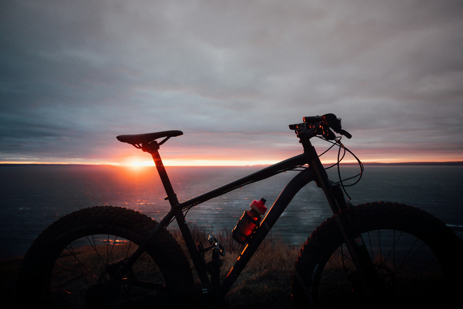
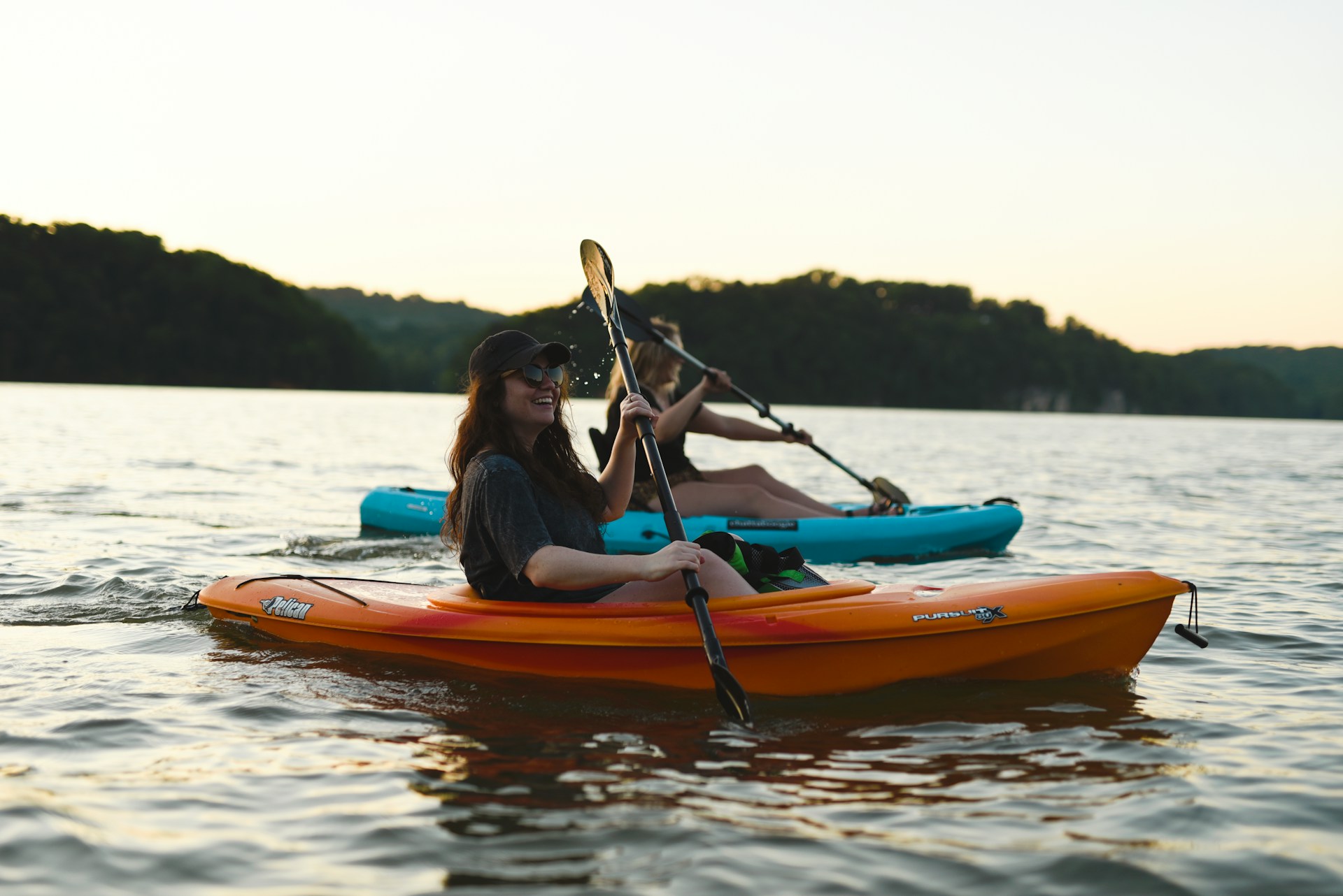
Kayaking here is something else. Slack tide brings calm water—perfect for paddling.
If you time it right, low tide reveals sea caves and rock formations usually hidden below the surface.
A lot of outfitters run guided trips, blending whale watching with kayaking. These tours share local tidal wisdom and get you up close with Fundy’s wild side.
Fundy National Park and Community Life
Fundy National Park covers 207 square kilometers of wild, coastal land. The place really captures the entire Bay of Fundy ecosystem, stretching from dense forests right down to the seashore.
Over 100 kilometers of hiking trails twist and turn through the park. I’ve wandered the coastal trails and watched the tides shift dramatically throughout the day—it’s honestly mesmerizing.
St. Martins acts as the gateway community to all this adventure. This little fishing village shows off how people have adapted to wild tides for generations.
You’ll find covered bridges and sea caves that draw visitors in every season. At low tide, I can actually walk right into caves that vanish underwater just hours later. That’s a surreal experience I never get tired of.
Locals work as fishing guides, park interpreters, and tour operators. Their stories and tidal know-how always add something special to a visit.
The Mi’kmaq people have called these shores home for thousands of years. Their traditional knowledge still shapes how scientists understand the ecosystem.

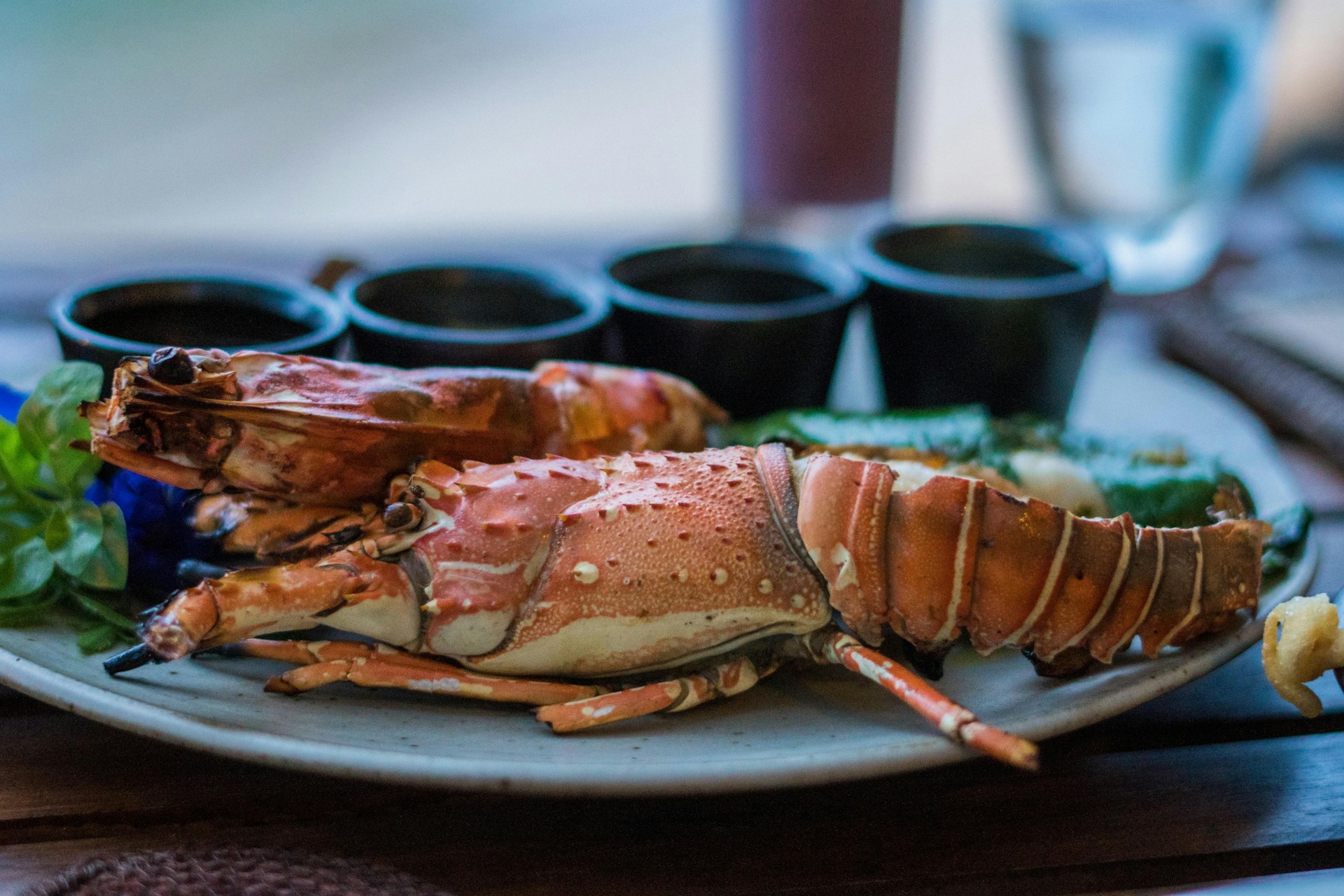
Fresh Seafood and Local Lobster
Bay of Fundy seafood tastes incredible, thanks to tides that constantly bring in fresh nutrients. The cold, clean waters here help lobsters, scallops, and fish thrive.
Lobster season runs from late November through May. Fishermen set their traps in deep, chilly water where the lobsters get big and sweet.
Local Seafood Specialties:
- Bay of Fundy lobster
- Digby scallops
- Atlantic salmon
- Dulse seaweed
If you can, visit during lobster season. Tasting lobster pulled from the sea that very morning is something I’ll never forget.
Dulse, a red seaweed, clings to the rocky shores. Locals harvest and dry it for a salty, mineral-rich snack—honestly, it’s an acquired taste, but worth trying at least once.
Seafood festivals pop up all over the region to celebrate these ocean treasures. The Digby Scallop Days festival in August is a highlight, and the scallops really do live up to the hype.
Tidal Bores and Global Comparisons
The Bay of Fundy’s tidal bore creates a wild wave that pushes upstream, fighting against river currents at speeds up to 15 kilometers per hour. While Fundy gets all the attention for its tidal bore, other places around the world also put on some seriously dramatic tidal shows. Check out a few global contenders.
Experiencing the Tidal Bore
The Shubenacadie River lets you try the world’s only tidal bore rafting. I caught this phenomenon as the incoming tide formed a standing wave racing upstream—talk about an adrenaline rush.
Rapids can reach up to 3.5 meters high, and during summer, local guides take thrill-seekers right into the action. The bore fights the river’s natural flow, creating a tumbling wavefront that signals the tide’s arrival.
This happens because Fundy’s huge tides get squeezed into narrow river channels. Timing really matters here. The bore shows up twice a day, but the schedule shifts about an hour later each time—worth planning around if you want the best ride.
Other Dramatic Tidal Locations Worldwide
Bristol Channel in the UK boasts Europe’s second-highest tidal range—up to 15 meters during spring tides. The Severn Bore there creates waves big enough for surfers to ride up the river.
Turnagain Arm in Alaska brings tidal bores up to 2 meters high, racing along at 15 kilometers per hour near Anchorage. It’s wild to watch, especially with the mountains as a backdrop.
Ungava Bay in northern Quebec can see tides up to 17 meters, even more extreme than Fundy. It’s remote, though, so only the most determined travelers make it out there.
Rio Gallegos in Argentina puts on its own tidal show along the Patagonian coast. The funnel-shaped land turns regular tides into something impressive.
| Location | Maximum Tidal Range | Notable Feature |
|---|---|---|
| Bay of Fundy | 16 meters | Tidal bore rafting |
| Bristol Channel | 15 meters | Severn Bore surfing |
| Ungava Bay | 17 meters | Remote wilderness |
| Turnagain Arm | 12 meters | Urban accessibility |
UNESCO Recognition and Significance
The Bay of Fundy stands out as a UNESCO Biosphere Reserve, which honestly feels pretty special. This title shines a spotlight on its global importance for marine life.
Here, the wild tides shape habitats you just won’t find anywhere else. These crazy conditions help rare species thrive and draw in millions of migrating shorebirds.
UNESCO didn’t just hand out this recognition for show. Researchers and educators flock here, using the bay as a living classroom to study coastal changes and the effects of climate shifts.
You’ll also notice a real push for sustainable tourism and conservation. The idea? Let future travelers marvel at these epic tides—without putting the ecosystem at risk.