Honestly, the Trans-Canada Highway is one of those epic road trips that you just can’t shake from your memory. Stretching a wild 4,860 miles from Victoria, British Columbia to St. John’s, Newfoundland and Labrador, this beast of a road claims the title of the world’s longest national highway system.
I’ve driven long stretches of it myself, and trust me, it’s not just a way to get across the country. It’s the kind of journey that seeps into your bones.
What really makes this highway stand out? It’s the way it stitches together every single province, weaving through jaw-dropping scenery. You get everything: the Rockies, the Atlantic coast, endless prairies, thick forests, and cities that pulse with their own stories.
Sometimes, it feels like you’re driving straight through the heart of Canada—because, well, you are.
Adventure? It’s everywhere along this route. Whether you’re into wild landscapes, quirky towns, or those backroad detours most people skip, you’ll find something that makes you want to linger.
Let’s get into the must-see stops, little-known gems, and practical tips that’ll help you plan your own unforgettable trek across Canada’s legendary highway.
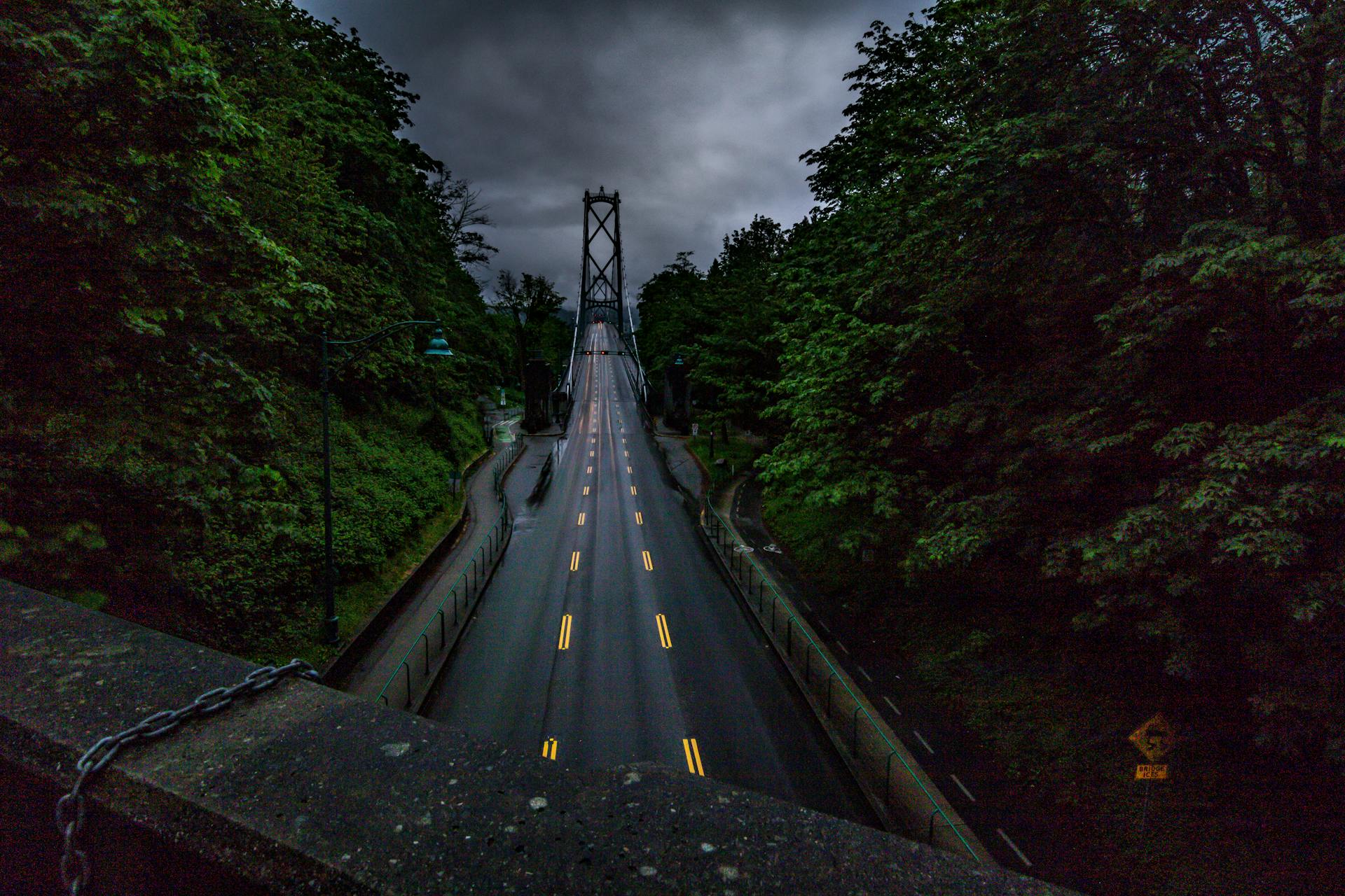
The Trans-Canada Highway: Route, Facts, and Legends
This highway stretches 4,860 miles from St. John’s all the way to Vancouver, crossing ten provinces. Building it took more than twenty years, and honestly, it’s a powerful symbol of how Canada pulls together.
Route Overview from St. John’s to Vancouver
You start in St. John’s, Newfoundland and Labrador, and finish in Victoria, British Columbia. That’s 7,476 kilometers of pure Canadian road.
The route links the Atlantic and Pacific. It heads west through Nova Scotia, New Brunswick, Quebec, and Ontario.
Then it rolls through Manitoba, Saskatchewan, Alberta, and finally British Columbia. Ferries finish the connection to Vancouver Island.
Key Route Features:
- Spans 6 time zones
- Crosses big rivers and mountain ranges
- Links Canada’s biggest cities
- Opens up national parks
You’ll catch ferries in two places—one from Nova Scotia to Newfoundland and Labrador, and another to Vancouver Island.

Historic Milestones and Construction
Back in 1949, Parliament gave the green light for the Trans-Canada Highway Act. Crews broke ground in 1950, and Saskatchewan actually finished its part first by 1957.
Prime Minister John Diefenbaker showed up for the big opening on September 3, 1962 at Rogers Pass in Glacier National Park, BC.
But the whole route didn’t open until 1965, when the last 200-mile stretch in Newfoundland finally came together.
Construction kept going in spots until 1971. Workers tackled some wild challenges:
- Blasting through the Rockies
- Bridging rivers where nothing existed
- Building in brutal weather
- Linking up remote towns
The highway became the world’s longest national road. Federal and provincial governments teamed up, and the project cost a fortune.
National Symbolism and Cultural Significance
People call the Trans-Canada Highway “Canada’s Main Street.” It’s kind of like our answer to Route 66.
This road stands for unity. It ties together communities from both coasts and lets you drive across the entire country.
For a lot of Canadians, it means something deeper. It’s not just a road—it’s a ribbon that connects provinces, cultures, and families. Road trips on the TCH are a rite of passage.
Along the way, you get front-row seats to Canada’s wild beauty. National parks, mountains, lakes, forests—you name it.
Cultural Impact:
- Symbol of unity
- Magnet for tourists
- Shows up in books and documentaries
- Core part of Canadian identity
The highway still moves people and goods coast to coast. It keeps remote communities connected to the bigger cities.
Epic Landscapes and Iconic Natural Wonders
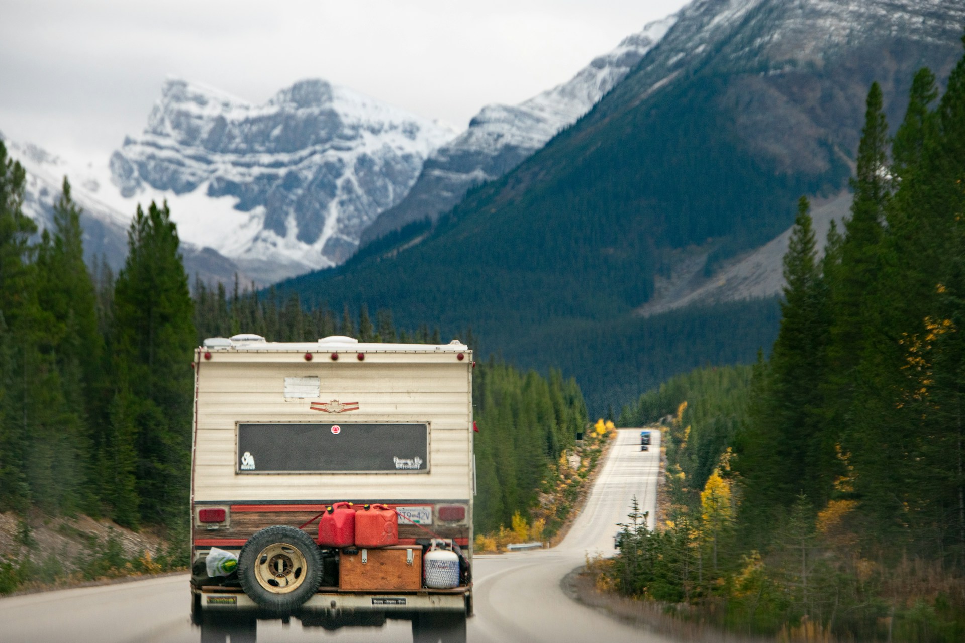
Driving the Trans-Canada Highway, you’ll see some of the most jaw-dropping scenery in North America. Mountains, prairies, forests, lakes—it’s all here.
Traversing Rocky Mountains and Banff
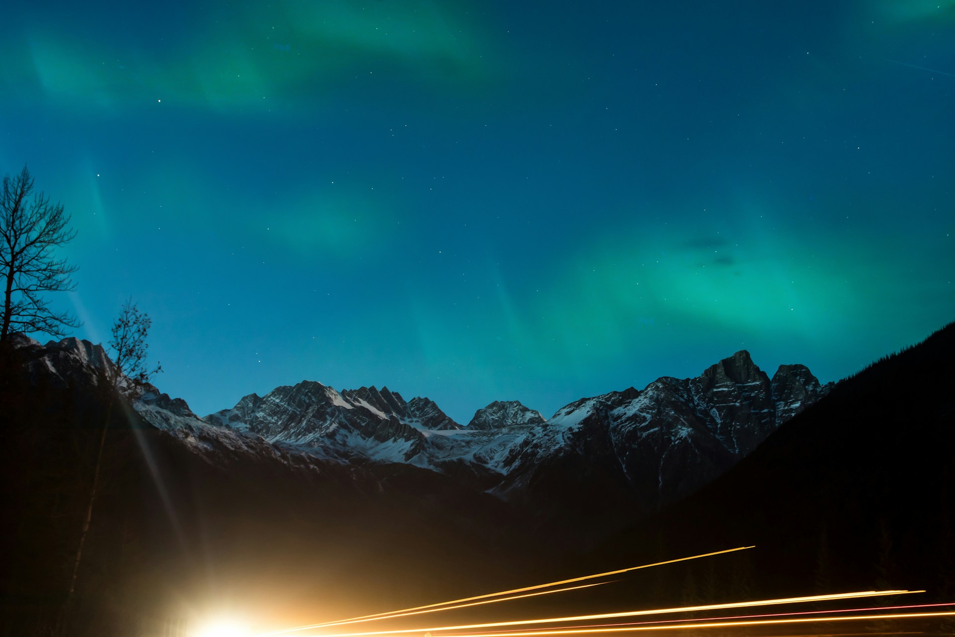
The Rockies? Now that’s the showstopper. These massive peaks straddle the Alberta-British Columbia border, some topping out at over 11,000 feet.
Banff National Park, right along the route, is just unreal. Those turquoise lakes—like Lake Louise—mirror the snowy mountains. I’ll never forget my first glimpse.
The road twists through mountain passes, and sometimes you’ll hit snow even in July. Steep grades and hairpin turns keep things interesting.
Wildlife pops up everywhere. I’ve seen elk, mountain goats, and even black bears right by the shoulder. Always keep your distance—those park signs aren’t kidding.

Expanses of Grasslands and Dense Forests
The prairies are a different world. Rolling grasslands stretch out, especially during harvest when everything turns gold.
Once you cross into Ontario and Quebec, dense boreal forests take over. Spruce, fir, and pine trees crowd the road, and the forest floor stays cool and damp, even on hot days.
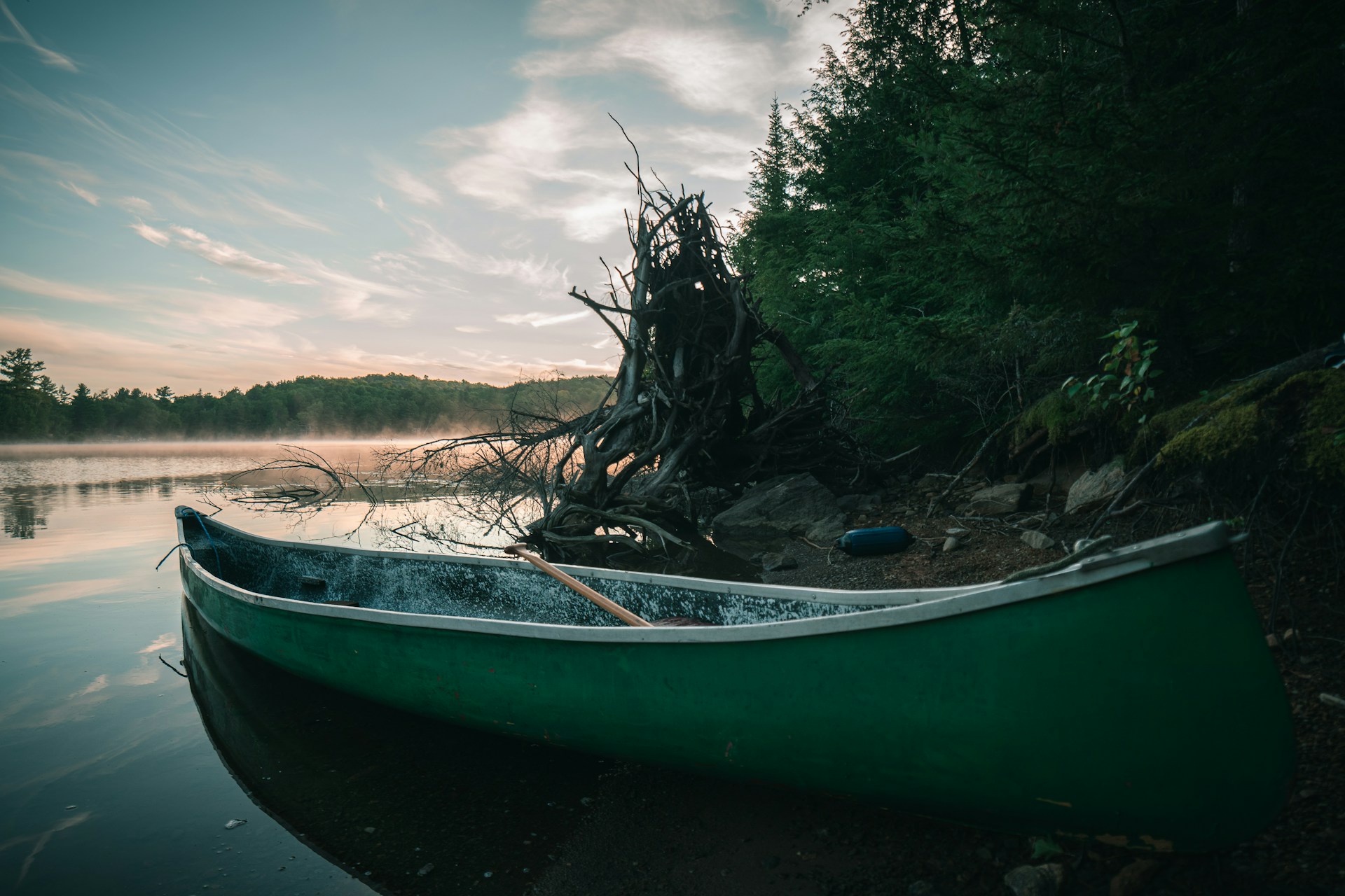
It’s wild how quickly the scenery shifts. In just a few hours, you can go from open farmland to deep woods. Lakes and wetlands hide between the trees, and you might spot moose or caribou if you’re lucky.
The contrast between open prairie and thick forest is something you have to experience. The weather even changes—trees block those prairie winds.

Seaside Vistas and Coastal Marvels
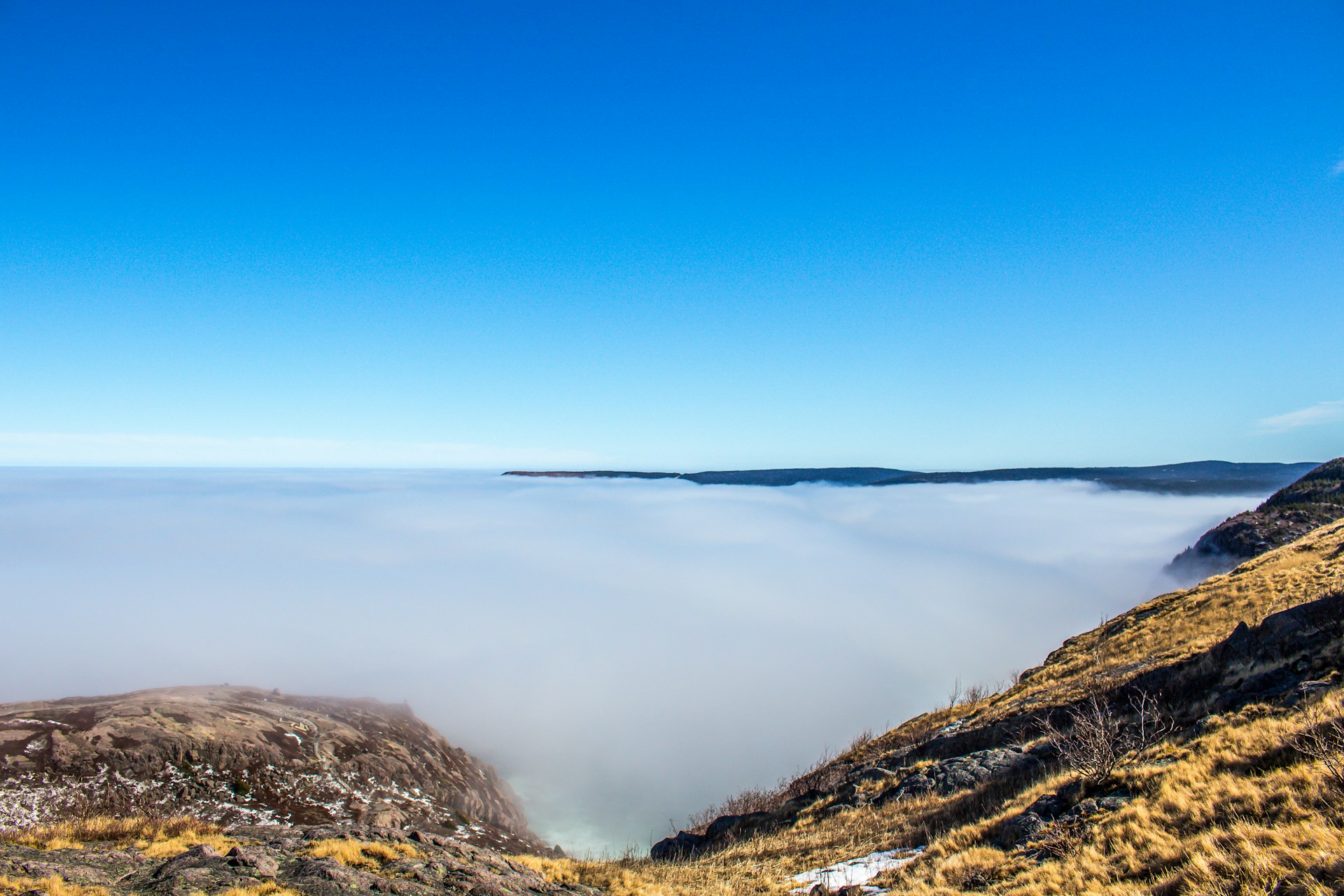
Northern Ontario’s Lake Superior section feels almost like driving beside the ocean. The lake stretches out forever, with waves smashing against rocky cliffs.
You’ll find dramatic cliff views and secret beaches. Sometimes you’ll spot big freighters way out on the water. The shoreline is all rugged granite, shaped by centuries of waves.
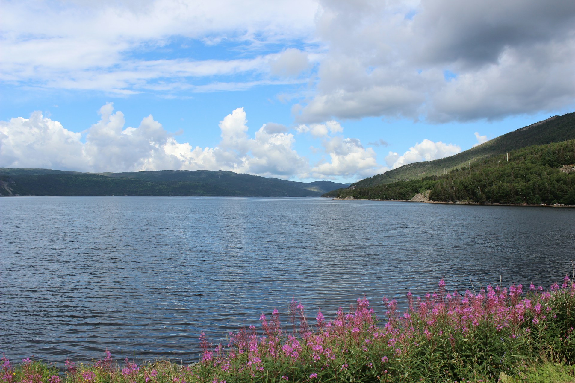
In Atlantic Canada, the highway finally meets the real ocean. Rocky coasts, lighthouses, and little fishing towns with colorful houses make the last stretch unforgettable.
Maritime weather keeps you guessing. Fog can roll in fast, and the salty air and seabirds let you know you’re close to journey’s end in Newfoundland.
Unmissable Destinations Along the Highway
The Trans-Canada Highway runs right through some of Canada’s most spectacular spots. Three national parks are absolute must-sees, each with its own vibe and natural wonders.
Banff and Banff National Park
Banff National Park—Canada’s first—sits right in the Rockies and covers a whopping 6,600 square kilometers.
Lake Louise is just a quick hop from the highway. The water glows turquoise, and the mountains and glaciers make it feel like a postcard. Pro tip: park at the Skiing Louise lot and grab the shuttle to dodge the $40 lakeside parking price.
The town of Banff is packed with cozy restaurants, shops, and hotels. The Banff Springs Hotel is a splurge but worth it for those mountain views. Hiking trails range from easy strolls to tough climbs.
Don’t miss:
- Hiking to Lake Agnes Tea House (3 km)
- Driving the Bow Valley Parkway
- Visiting Moraine Lake
- Riding the Banff Gondola
In winter, you get skiing and ice walks. Summer is for hiking and canoeing. Don’t forget your national parks pass.

Mount Revelstoke National Park and Rogers Pass
Mount Revelstoke National Park sits in British Columbia, protecting ancient cedar forests and wildflower meadows.
Rogers Pass slices through the Selkirk Mountains at 1,330 meters. Both the highway and the Canadian Pacific Railway use this route, but winter brings avalanche risks and road closures.
The Meadows in the Sky Parkway climbs steeply from Revelstoke up to Balsam Lake. At the top, you can wander through subalpine meadows bursting with wildflowers in summer.
Highlights:
- Giant cedars over 1,000 years old
- Skunk Cabbage Trail (1.2 km boardwalk)
- Eva Lake Trail (6 km round trip)
This park connects to Glacier National Park just east. Weather can get wild, so check conditions before you go.
Gros Morne National Park
Gros Morne National Park, out on Newfoundland’s west coast, covers 1,805 square kilometers and shows off ancient geology.
Western Brook Pond is a landlocked fjord with 600-meter cliffs. In summer, boat tours take you right up to those sheer walls. The hike to the dock is about 3 km through bog and woods.
Tablelands looks otherworldly—orange-brown rocks from the Earth’s mantle, exposed by ancient tectonic forces. It’s like walking on Mars. There’s a 4 km trail into this wild landscape.
Green Gardens is all about sea stacks, waterfalls, and dramatic cliffs. The 9 km loop drops you down to the rocky coast with views of the Gulf of St. Lawrence.
You’ll want to plan ahead—Gros Morne sits about 30 km west of the highway near Corner Brook. Summer has the best weather and the longest daylight for exploring.
Essential Cities and Towns on the Ultimate Adventure
The Trans-Canada Highway links four major cities that each bring their own flavor to the journey. From the Atlantic edge to the heart of the prairies, every stop adds something new.
St. John’s: The Eastern Gateway
St. John’s, perched on North America’s eastern tip, is a riot of color—row houses climbing steep streets above the harbor.
Start at Signal Hill National Historic Site. It’s where Marconi received the first transatlantic wireless signal in 1901.
Downtown’s Water Street and Duckworth Street have lively restaurants, pubs, and shops full of Newfoundland crafts.
Don’t skip:
- Cape Spear Lighthouse (the continent’s easternmost point)
- The Rooms cultural center
- George House historic site
- Quidi Vidi Village
The weather flips on a dime, so pack layers even in July. Fresh seafood—cod, lobster, mussels—is everywhere.
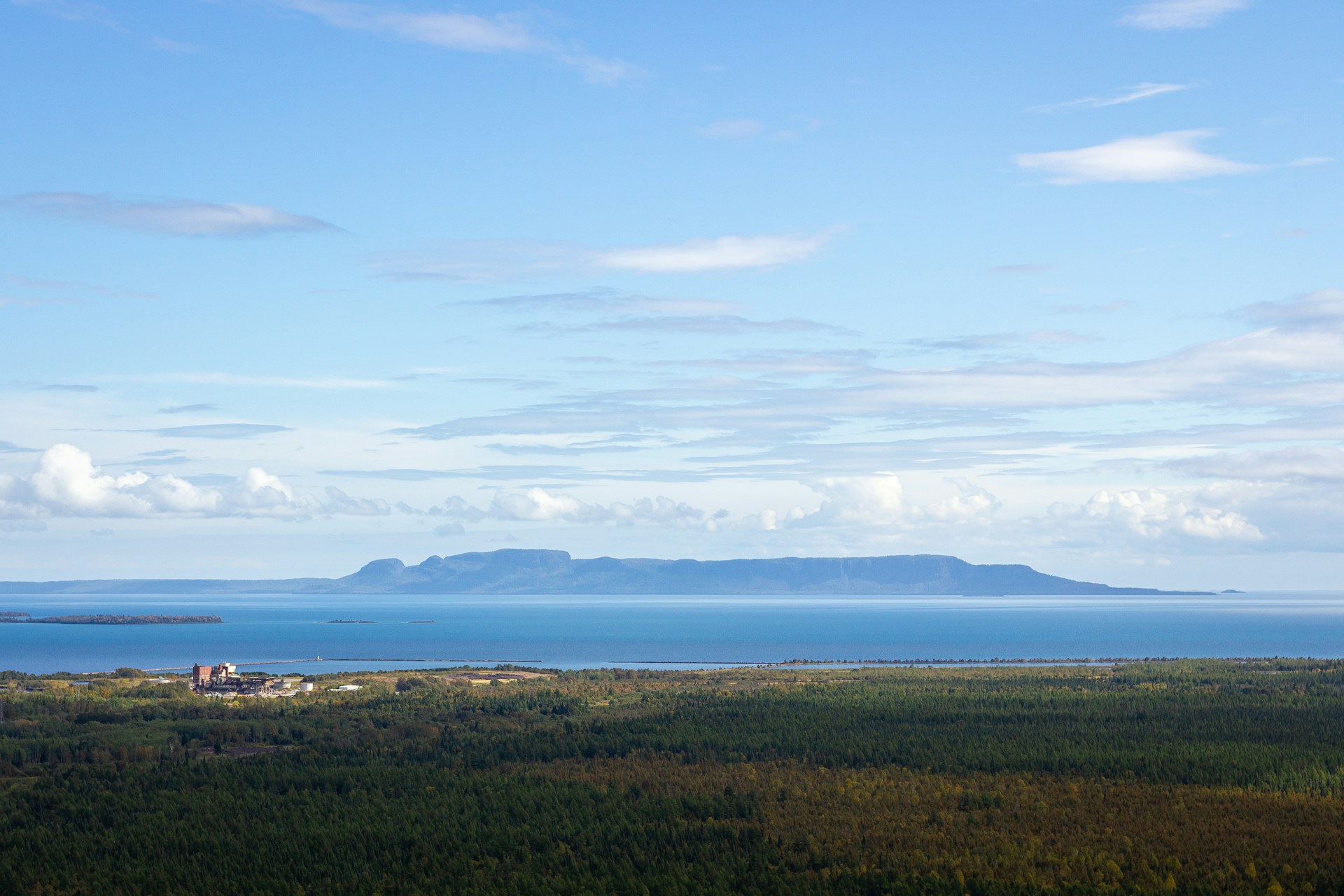
Thunder Bay and Lake Superior Region
Thunder Bay sits at the mouth of the Kaministiquia River, right on Lake Superior. It’s the launch point for northwestern Ontario adventures.
Sleeping Giant Provincial Park looms over the city, offering hikes with sweeping lake views.
At Fort William Historical Park, you can step back to 1815 and see blacksmiths, canoe builders, and other crafts in action.
Kakabeka Falls drops 40 meters over ancient rock, just a half hour from downtown.
| Attraction | Distance from City | Best Time to Visit |
|---|---|---|
| Sleeping Giant Park | 45 minutes | May-October |
| Kakabeka Falls | 30 minutes | Year-round |
| Fort William | 15 minutes | May-September |
Thunder Bay has plenty of hotels, restaurants, and gas stations. Stock up here before heading further west.
Calgary’s Vibrant Spirit
Calgary buzzes with energy and sits just an hour east of Banff.
The Calgary Stampede takes over every July—ten days of rodeo, concerts, and fairground fun.
Downtown, the Plus 15 walkway system keeps you warm in winter, connecting buildings above the streets.
Stephen Avenue Walk is the place for shopping and good eats. The pedestrian mall runs through the historic core.
Prince’s Island Park sits in the Bow River, hosting festivals and offering peaceful walking paths.
Must-sees:
- Calgary Tower for skyline views
- Heritage Park Historical Village
- Calgary Zoo
- Glenbow Museum
You’ll find great hotels, car rentals, and shopping galore. Calgary makes a perfect base for Rockies adventures.

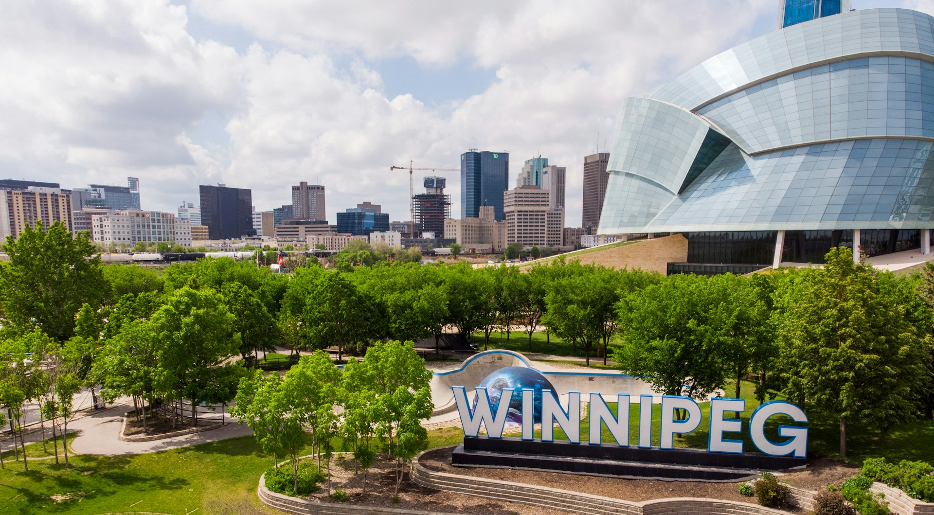
Winnipeg and the Heart of the Prairies
Winnipeg sits right smack in the middle of North America. Where the Red and Assiniboine Rivers meet, you’ll find the heart of the city.
The Forks is one of those places you just have to wander. There are shops, restaurants, and markets tucked into old rail yards, and the river trails make for a perfect stroll—especially at sunset.
If you’re into striking architecture, the Canadian Museum for Human Rights will catch your eye from miles away. It opened in 2014, and honestly, the building is just as much a reason to visit as the exhibits inside.
Over in the Exchange District, you’ll walk among early 1900s warehouses. Now, those old brick buildings house galleries, theaters, and some of the best little cafes I’ve found in any Canadian city.
Assiniboine Park sprawls across 1,100 acres, right in the middle of everything. There’s a zoo, a conservatory, and more green space than you’ll know what to do with.
Brace yourself if you visit in winter—temperatures can drop to -30°C. But come summer, Winnipeg transforms. The Winnipeg Folk Festival and Canada Day Festival fill the city with music, food, and that infectious prairie energy.
Travelers will find just about everything they need here. Grocery stores, hotels, and repair shops line the main routes, so you’re never far from the basics.
Unique Scenic Routes and Alternative Highlights
The Trans-Canada Highway isn’t just a road—it’s a journey through some of the country’s wildest and most beautiful places. Fraser Canyon, with its dramatic cliffs, and Prince Edward Island’s red soil, both offer something unforgettable.
Fraser Canyon and Lush British Columbia
Driving through Fraser Canyon feels like entering another world. The highway hugs the river, and the canyon walls shoot up on either side—sometimes so close you can almost touch them.
If you only make one stop, let it be Hell’s Gate. The river narrows to a roaring rush, and an airtram whisks you across the gorge. It’s a little nerve-wracking but the views? Totally worth it.
A few Fraser Canyon stops I’d recommend:
- Alexandra Bridge viewpoint (great for photos)
- Bridal Veil Falls Provincial Park (bring a rain jacket)
- Harrison Hot Springs (soak your tired feet)
- Chilliwack Lake (peaceful and underrated)
The canyon stretch between Hope and Cache Creek runs about 100 miles. In spring, wildflowers pop up everywhere along the rocky slopes. By fall, the hillsides glow orange and red.
Keep an eye out for history along the way. The old Cariboo Wagon Road winds through this area, and gold rush stories linger at roadside markers and quirky little museums.

Prince Edward Island and Maritime Charms
Prince Edward Island links up with the mainland thanks to the Confederation Bridge. Honestly, driving across this 8-mile stretch over the Northumberland Strait feels a bit surreal.
You’ll spot the island’s famous red soil almost everywhere. Potato fields seem to roll on forever, their green rows cutting through the landscape. If you follow the winding coastal roads, you’ll stumble upon white sand beaches and those classic lighthouses that beg for a photo.
Top PEI highway experiences:
- Wandering through Anne of Green Gables country near Cavendish
- Exploring Charlottetown’s historic downtown (don’t skip the local coffee shops)
- Relaxing on the beaches of Prince Edward Island National Park
- Sampling lobster and mussels at roadside seafood shacks
From one end to the other, the island highway covers about 175 miles. Along the way, tiny fishing villages pop up, each one with its own Maritime charm. I always find something unexpected at the local farmers markets—fresh strawberries, hand-knit socks, you name it.
Red cliffs drop straight into the blue Atlantic at so many lookouts. The hills roll gently, making the drive easy and almost meditative. If you’re into photography, you’ll run out of memory before you run out of views.