Exploring the deserts of California? It’s honestly one of those experiences that sticks with you—there’s just something about the endless landscapes, those open skies, and roads that seem to go on forever. If you’re gearing up for your first desert road trip, you’re probably feeling a mix of excitement and a bit of nervousness, especially when you start thinking about safety and comfort.
The best way to actually enjoy your adventure? Prepare well, stay hydrated, and lean on some essential tips that’ll keep you inspired and, more importantly, safe.
California’s deserts definitely come with their own set of challenges. Extreme temps, unreliable cell service, and not a lot of places to stop can catch you off guard. Over the years, I’ve realized that having a plan and knowing what to expect really changes the game.
If you want your trip to be safe and memorable, let’s dive into some practical tips that’ll help you make the most of it.
Planning Your Route and Essential Preparations
Before any California desert road trip, I spend extra time on navigation, weather, and fuel stops. Remote desert roads aren’t the place for surprises.
Navigating with GPS, Physical Maps, and Compass
I always bring a trusty GPS, but honestly, I never count on it alone. Cell service can vanish out in the Mojave or Anza-Borrego. Printed maps are a lifesaver, especially topographic ones for those backroads.
A simple compass is my backup plan. Even basic navigation skills can make a huge difference if tech fails. I’ll mark my route, main roads, and key junctions on both my phone and paper maps.
Here’s what usually ends up in my navigation kit:
| Device/Tool | Purpose | When to Use |
|---|---|---|
| GPS | Real-time driving directions | Most roads, main routes |
| Physical Map | Overview and backup navigation | Signal loss, dead battery |
| Compass | Direction if maps/electronics fail | Extreme emergencies |
I feel way more confident with this setup, even if something goes wrong.
Weather Forecasts and Temperature Fluctuations
Desert weather is unpredictable. I always check the forecast for every area I’ll drive through, not just my destination. Temperatures can soar above 110°F during the day, and then suddenly dip to 40°F at night.
Heatwaves, high winds, and flash floods aren’t just stories—they happen. If the forecast looks rough, I’ll change my route or leave earlier. I pack layers: light clothes for the day, a jacket or sweater for night, and a wide-brimmed hat for sun.
Quick weather prep checklist:
- Review daily and hourly forecasts
- Bring clothes for both heat and cold
- Watch for wind and flood alerts
- Start early to dodge the afternoon heat
Researching Fuel Stops and Water Sources
Fuel stations can be shockingly far apart—sometimes 50 miles or more. I never trust that the next one will be open. Before I leave, I map out every gas station along my route and double-check recent reviews.
I refill my tank once it’s half empty. Water’s even harder to find than gas. I bring at least a gallon per person per day and note possible refill spots at ranger stations or rest stops. A backup water filter always comes along just in case.
Typical fuel and water checklist:
- Full tank before leaving
- Gas stops mapped every 75-100 miles
- At least 1 gallon of water per person, per day
- Emergency water purification tabs or filter
Understanding Isolation and Unique Desert Challenges
Some desert roads are so empty, you might not see another car for hours. If something goes wrong, help could be a long time coming. I always share my route with someone back home and set up check-in times.
Desert risks aren’t just about heat. Sharp rocks can ruin tires, sandstorms can come out of nowhere, and wildlife might dart across the road at dusk. Cell signal? Often gone. I double-check my spare tire, tools, and keep my first aid kit within reach.
Extra safety checklist:
- Share itinerary with a friend or family
- Bring a charged power bank and spare batteries
- Pack a whistle or signal mirror
- Try to avoid driving at night
With these steps, I travel with a lot more peace of mind.
Essential Vehicle Preparation and Emergency Supplies
Getting my car ready for a desert trip is a must. I check everything and pack what I need for emergencies. It’s the difference between a smooth trip and a stressful one.
Inspecting Brakes, Tires, and Oil Changes
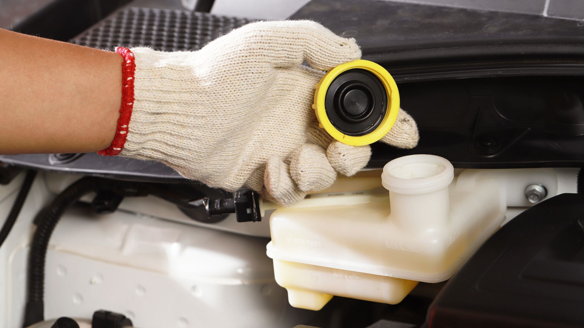
Before I hit the road, I check my brakes for any weird sounds. Good brakes matter, especially on long desert stretches.
I inspect my tires for cracks, worn treads, or anything stuck in them. Old or damaged tires are just asking for trouble out there. I top off my oil and change it if it’s almost due—clean oil helps my engine handle the heat.
I also check brake fluid, coolant, and windshield washer fluid. It’s a quick routine that saves headaches later.
Packing a Spare Tire and Checking Tire Pressure
A full-size spare tire is non-negotiable for me. I bring a jack and tire iron too. Rocky or debris-covered roads can pop a tire when you least expect it.
I check my tire pressure before leaving, using the guide in my car manual. A portable air compressor is handy for topping off tires. I always make sure my spare is actually inflated.
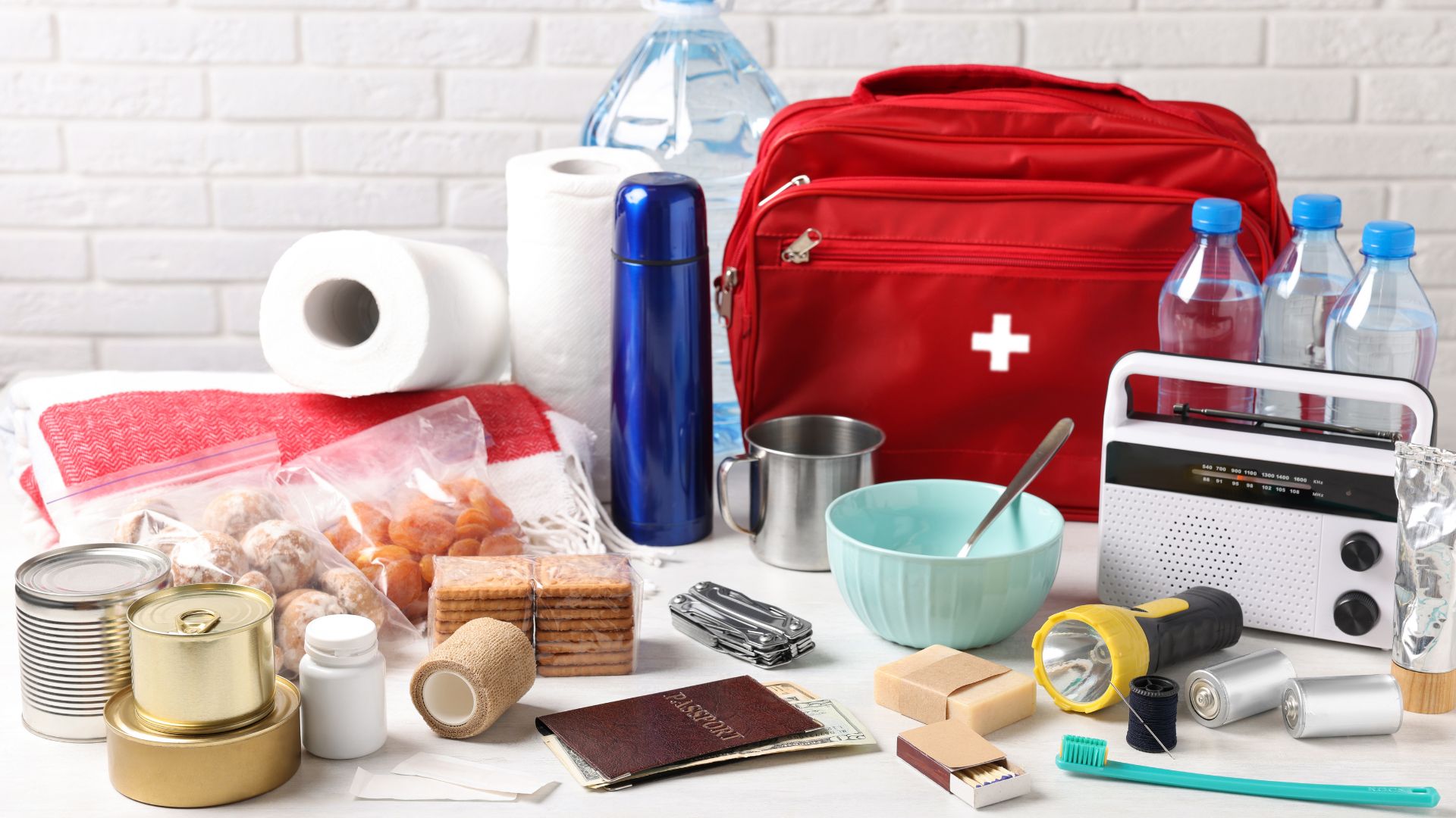
Stocking Emergency Kits and First Aid Kit
My first aid kit is always in the car. Bandages, wipes, pain meds, an emergency blanket, and my personal meds—it’s all there.
My emergency kit has jumper cables, a multi-tool, duct tape, extra water, snacks, a whistle, local maps, and trash bags. I toss in an extra key, wet wipes, and plastic sheeting for shelter if I have to wait for help.
I keep everything where I can grab it fast.
Bringing a Satellite Phone and Reliable Lights
Cell service is iffy in the desert. I bring a satellite phone for backup. If I’m stranded with no bars, I can still call for help.
Reliable lights are a must. I pack a flashlight with extra batteries and a headlamp for hands-free work. Some flashlights have a strobe for signaling.
Backup lighting makes it easier to handle car issues at night or flag down help.
Staying Safe While Driving in the Desert
Desert driving isn’t the same as city cruising. I plan for rough roads, sudden weather, extreme temperatures, and that relentless sun.
Navigating Sandy Surfaces and Desert Roads
Desert roads can go from pavement to sand or rocks fast. I check my tires and keep them at the right pressure. If I hit deep sand, I let a little air out for better traction.
To avoid getting stuck, I keep a steady speed and steer clear of sharp turns. If I do get stuck, I don’t just spin the wheels. Sand ladders, floor mats, or rocks under the tires can help me get moving again.
I always have extra water, food, and tools like a spare tire, jack, and shovel. Since cell service might drop, I let someone know my plans before I head out.
Recognizing Flash Floods, Sandstorms, and Dust Storms
Desert storms can sneak up fast. Flash floods can fill dry riverbeds in minutes after rain. I never drive through running water, and I keep an eye out for dark clouds or rising water.
Sandstorms and dust storms kill visibility. If I see one coming, I turn on my headlights and slow down. If I can’t see at all, I pull off the road, turn off my lights, and wait it out.
My storm plan:
- Stay in the car
- Keep windows and vents closed
- Listen for weather alerts if I can
- Use hazard lights if I have to stop
Managing Extreme Heat and Heat-Related Illnesses
Desert heat can sneak up on you. I try to drive early in the morning or later in the evening when it’s cooler. I pack at least two gallons of water per person and drink small sips often.
Heat exhaustion and heatstroke are real risks. If I start feeling a headache, dizzy, or confused, I find shade, drink water, and rest.
I check my car’s AC before leaving. Extra water and snacks go in a cooler. If my car breaks down, I stay inside with the windows cracked and wait for help.
Protective Clothing and Sun Protection
The sun out here is no joke. I wear loose, light-colored long sleeves and pants to stay cool and keep the sun off my skin. Wide-brim hats and sunglasses shield my face and eyes.
I use broad-spectrum sunscreen with SPF 30 or higher and reapply it every couple of hours, even if it’s cloudy. Lip balm with SPF stops my lips from getting chapped.
A scarf or bandana comes in handy for dust or sand. The right clothes and sun protection make a huge difference in avoiding sunburn and heat issues.
Staying Hydrated and Nourished
Staying safe in the California desert starts with smart water and food planning. I make sure to protect my health by managing hydration, packing enough food, and knowing how to avoid dehydration.
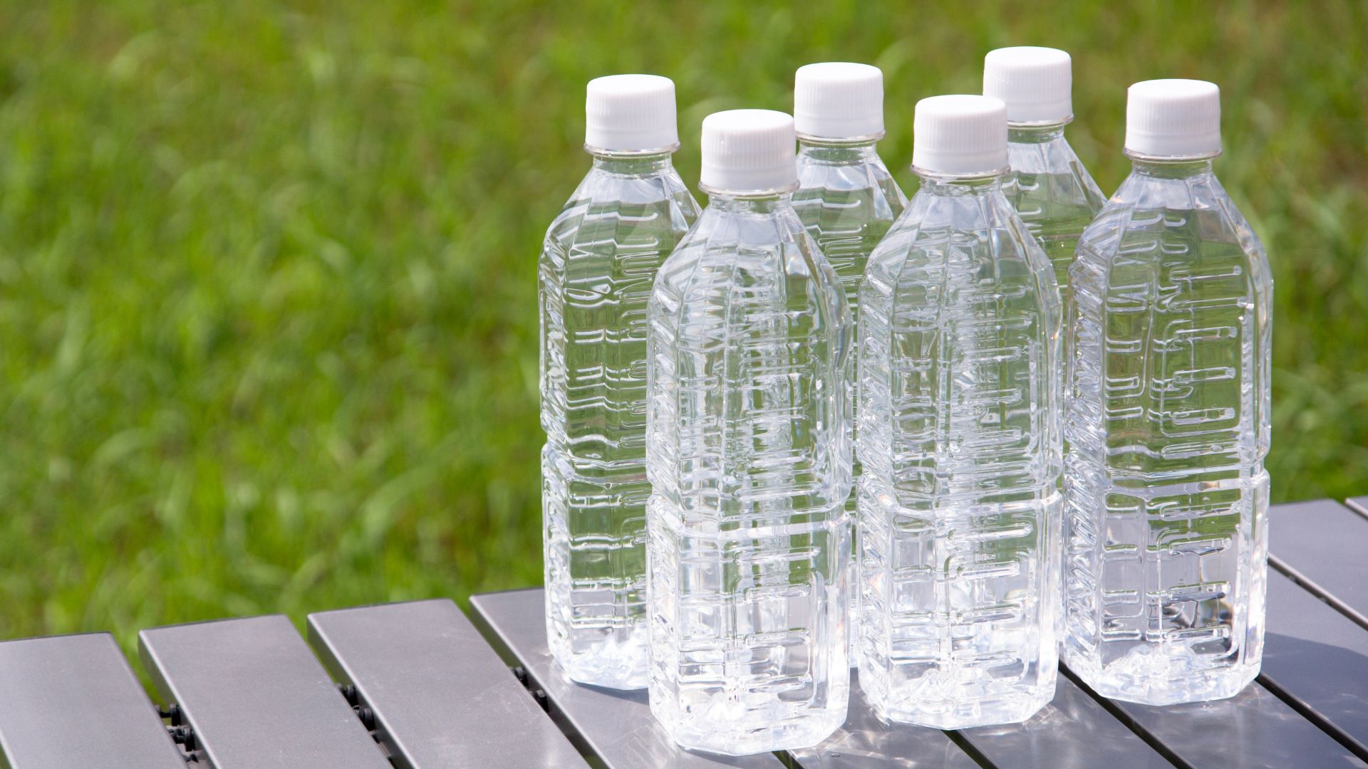
Planning Your Water Supply and Hydration Strategies
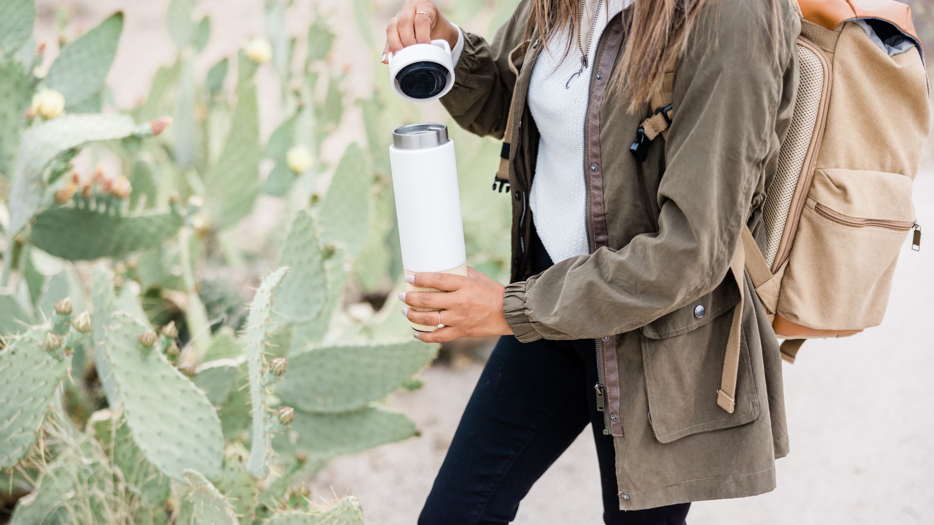
I never skimp on water for a desert trip. The dry heat makes me thirsty fast, so I plan for at least a gallon per person, per day. For longer drives or hikes, I add more. Reusable bottles and insulated containers keep my water cool.
I drink water before leaving to start out hydrated. On the drive, I sip water regularly instead of chugging it all at once. Sugary drinks or alcohol? I skip them—they just make dehydration worse. When I stop for breaks, I refill my bottles if I can.
Sometimes I use a hydration app to keep track. If I’m headed somewhere really remote, I bring water purification tablets or a filter just in case. Here’s a quick chart for reference:
| Length of Trip | Minimum Water Per Person |
|---|---|
| 4 hours | 2 liters |
| Full day | 1 gallon |
| Multi-day | 1+ gallons per day |
Recognizing and Preventing Dehydration
Dehydration sneaks up fast in the desert. I watch for signs like dry mouth, darker urine, feeling tired, or dizzy. If I notice any of these, I drink water and find some shade.
Light, breathable clothes help me stay cooler and lose less water. I plan activities for cooler parts of the day and keep water within reach. Sometimes, I check my urine color as a quick hydration check—clear or light yellow is good, dark means I need more water.
If I’m with friends or family, I remind everyone to drink, even if they’re not thirsty. Kids and older folks need extra reminders since they can get dehydrated faster. I never wait until I feel thirsty to start drinking.
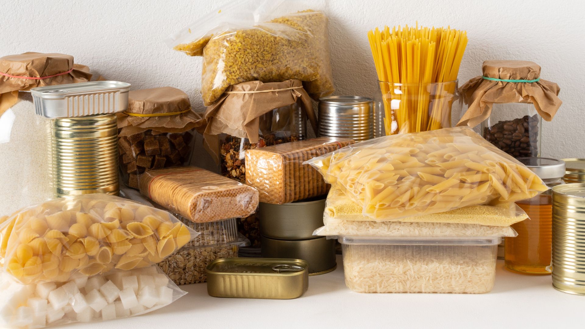
Packing Food Supplies for Energy
When I’m getting ready for a trip, I always toss in snacks packed with complex carbs, protein, and a bit of healthy fat. Trail mix, granola bars, peanut butter sandwiches, and dried fruit? Those are my go-tos. They keep my energy up and don’t spoil fast, even if the car feels like an oven.
I try to skip salty snacks—they just make me thirstier. For canned foods, I stick with the ones that have easy-open lids. No one wants to dig through their bag for a can opener. On longer trips, I’ll bring fresh fruit like oranges or apples. They’re refreshing and help with hydration, which is always a plus.
Planning meals ahead keeps me from running out of steam during a long drive or hike. I break up my food into small, grab-and-go portions, which makes life so much easier when I’m on the move. The simpler the meal, the more I can focus on staying healthy and alert.
Identifying Additional Water Sources
Before I hit the road, I always check for water sources along my route. Rest stops, visitor centers, and campgrounds sometimes have potable water, but it’s smart to double-check if they’re open—especially when it’s hot out.
Because the desert loves to throw surprises, I pack purification tablets or a portable filter just in case. If I end up needing water from a stream or a sketchy tap, I treat it first. I pay attention to warning signs about unsafe water and always follow the posted advice.
I also jot down where the nearest towns and gas stations are, just in case I need to grab bottled water. In the middle of nowhere, I never count on finding water. I always pack more than I think I’ll need and make sure to refill every bottle before heading out for the day.
Discovering Iconic Stops and Outdoor Inspiration
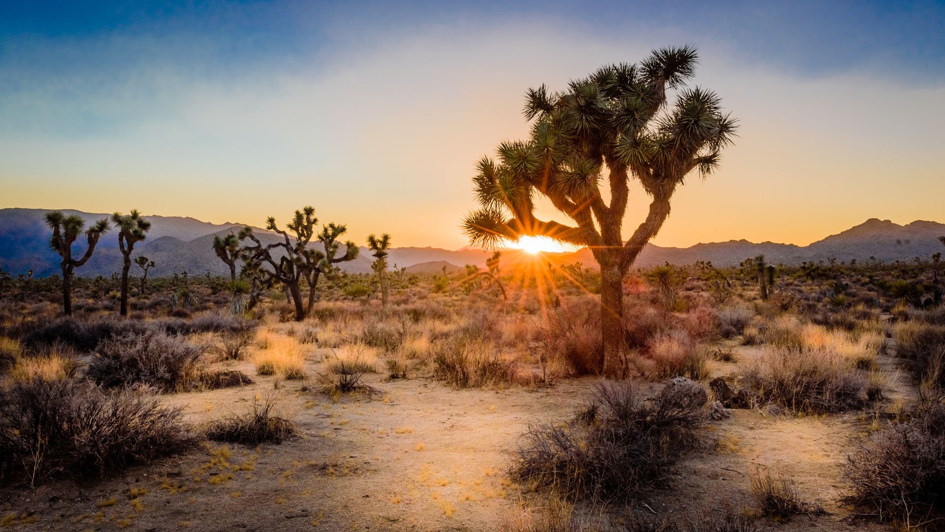
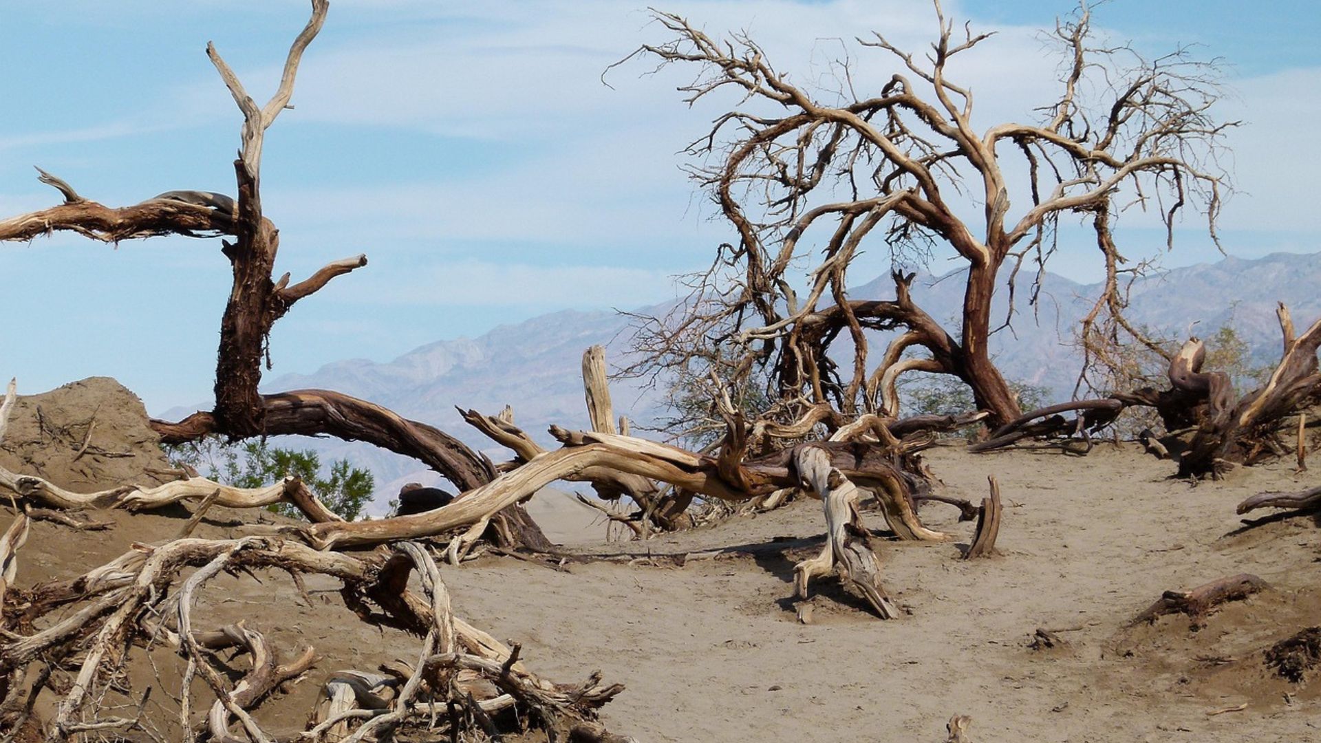
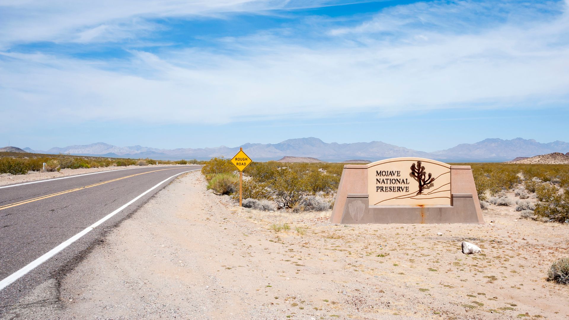
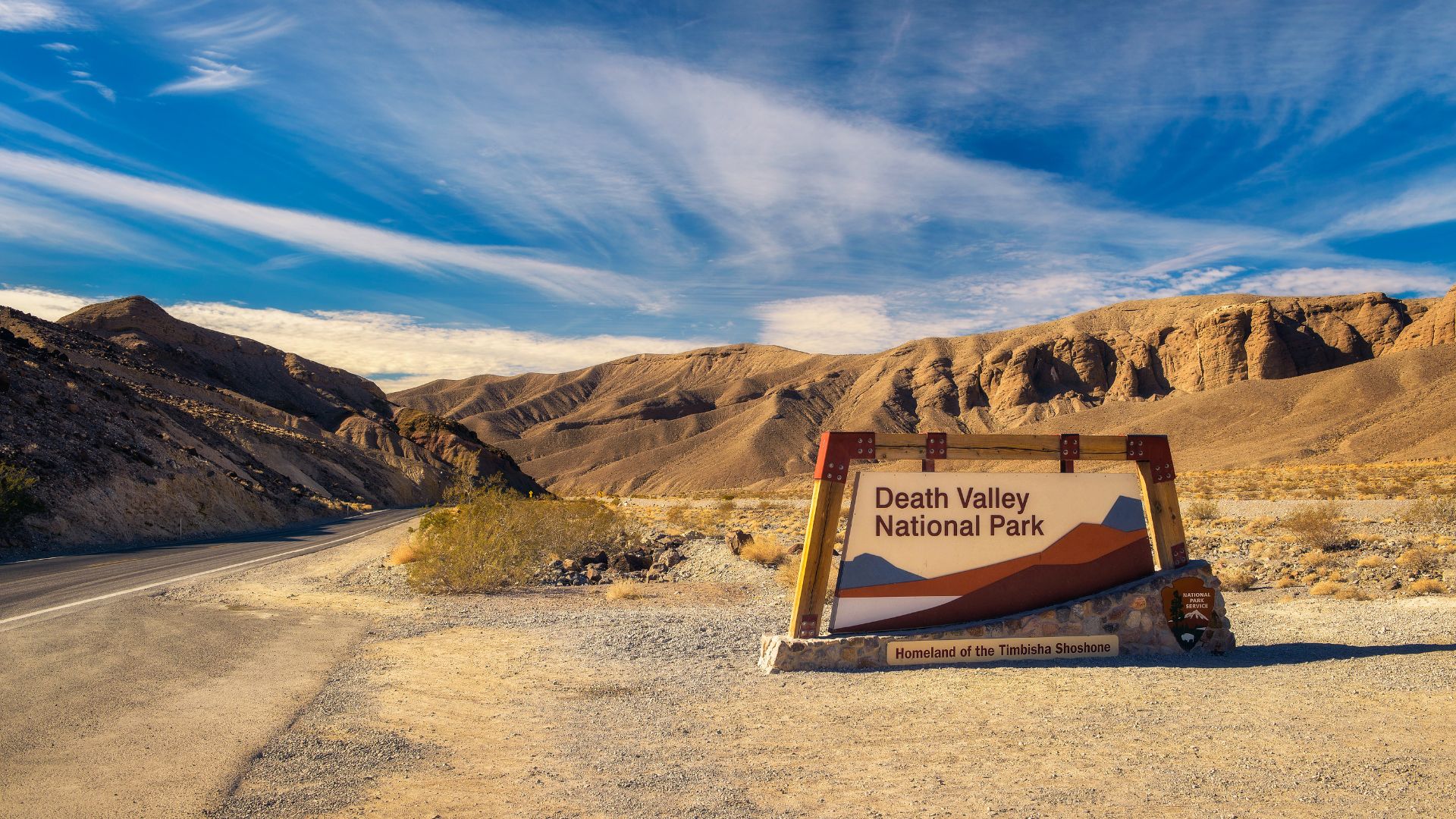
When I plan a California desert road trip, I start with a list of must-see spots. Legendary places like Death Valley and Joshua Tree always make the cut, but I love weaving in surprises like the Alabama Hills. Each place has its own character—unique trails, wild views, and a real chance to spot desert wildlife.
Exploring Death Valley and Joshua Tree
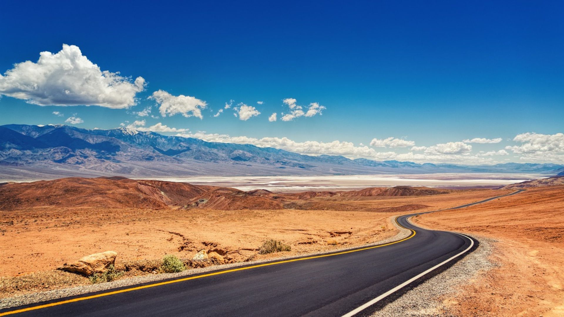
Death Valley National Park just blows me away every time. The landscapes are wild and extreme. I always tell people to stop at Badwater Basin. It’s the lowest point in North America, and standing on those salt flats feels like stepping onto another planet.
Zabriskie Point is a favorite for sunrise or sunset. The hills change color as the sun moves—honestly, I could take photos there all day. Summer is brutally hot, so I usually go in cooler months for comfort.
Joshua Tree National Park stands out with its twisted Joshua trees and giant rock piles. Hidden Valley is a dream for hiking and snapping photos. Keys View gives sweeping views of the Coachella Valley. And at night? The stars are unreal—some of the clearest skies I’ve ever seen.
Adventuring in Alabama Hills and Desert Landscapes
Alabama Hills isn’t a national park, but I think it’s one of California’s best-kept secrets. You’ll find it near the base of the Sierra Nevada, with round, golden rocks just begging to be explored. Movie Road gives you those classic views of both the hills and Mount Whitney in the distance.
Walking among the arches, especially Mobius Arch, always makes me stop and stare. It frames the mountains perfectly. There’s a bit of old Hollywood magic here too—lots of Westerns were filmed in these rocks. Sunrise and sunset? The light makes everything glow.
Anza-Borrego Desert State Park brings a totally different vibe. The badlands stretch out forever, and if you’re lucky in spring, wildflowers explode with color. Slot canyons twist through the landscape, making it feel like another world. I never forget sun protection and water out here—it’s wide open and wild.
Hiking and Wildlife Encounters
Hiking is at the heart of my desert adventures. Mosaic Canyon in Death Valley is a favorite, with its smooth marble walls. In Joshua Tree, Ryan Mountain and Barker Dam trails give me both views and a dose of history.
If I slow down and keep quiet, I usually spot wildlife. Roadrunners dart past, lizards bask on rocks, and sometimes I catch a glimpse of bighorn sheep or jackrabbits. Early mornings or evenings are best—the animals come out when the air cools off.
I always keep my distance from wildlife. Feeding them or leaving food out isn’t just risky—it’s bad for the animals too. Binoculars let me watch from afar without disturbing anyone, which feels right for both of us.
Cultural and Natural Highlights of National Parks
The cultural history in these parks? Honestly, it’s just as fascinating as the scenery. When I wander through Death Valley, I find myself drawn to places like the old Harmony Borax Works—there’s something about learning firsthand how miners once carved out a living here.
Sometimes I stumble across petroglyphs, and suddenly, I’m imagining what life might’ve looked like for ancient Native Americans. Those carvings feel like whispers from the past.
Over in Joshua Tree, the story shifts. Keys Ranch stands as a reminder of the grit and hope early homesteaders brought with them. I can almost picture them working the land, dreaming big under that endless desert sky.
I love popping into the visitor centers, too. They’ve got exhibits that break down the geology, the crazy plant life, the animals—basically, all the stuff I’m seeing outside. It’s wild how much more these places matter once you know their backstory.
Table: National Parks at a Glance
| Park/Natural Area | Key Features | Best For |
|---|---|---|
| Death Valley | Salt flats, canyons, dunes | Extreme landscapes |
| Joshua Tree | Joshua trees, boulders | Rock climbing, hiking |
| Alabama Hills | Rock arches, movie sites | Scenic drives, photos |